


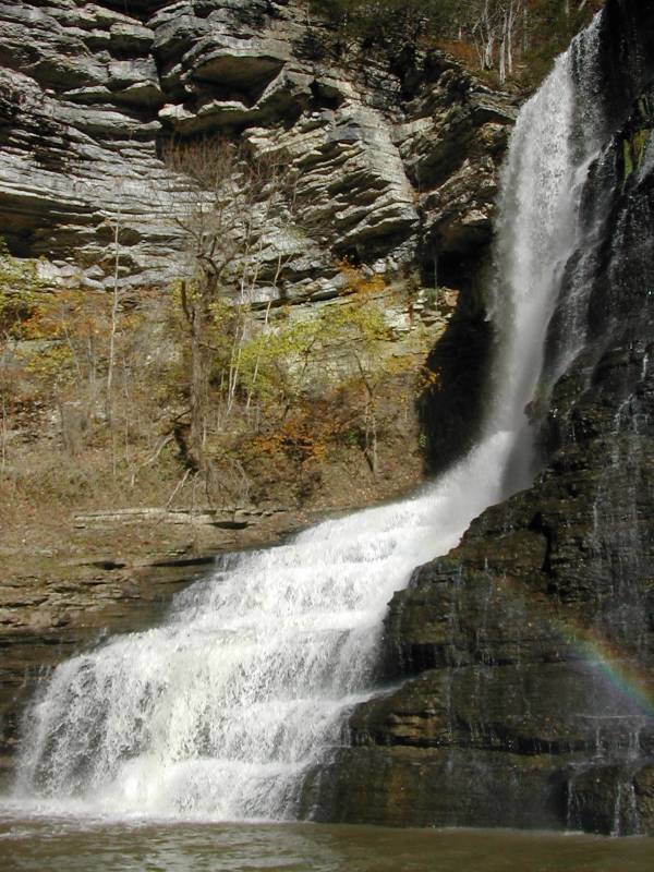
Burgess Falls is the namesake of Burgess Falls State Park. This is one of the largest and most impressive waterfalls in all of Tennessee. It is easy to visit. The 3/4 mile walk to the falls is mostly level and passes two other falls, one of them being the 60' Middle Falls and some cascades. There is an overlook above the falls which offers some very impressive views of both falls and the deep gorge the river has carved out. A steep trail leads to the brink of the falls, and a stairway will take you to the base of the falls.
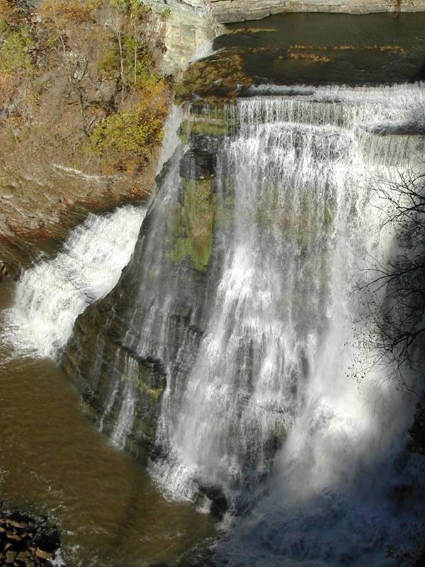
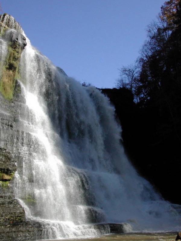
This is a big waterfall. Even with a wide angle lens you will probably not be able to get a picture of the whole falls from the base. There are some trees in the gorge near the base of the falls that will prevent you from getting far enough away. If you were to cross the river you might be able to get some wider shots, but wading the river might be difficult. I do not know if you can get to the opposite cliff side. You can boat up to the falls from Center Hill Lake when the river is high enough.
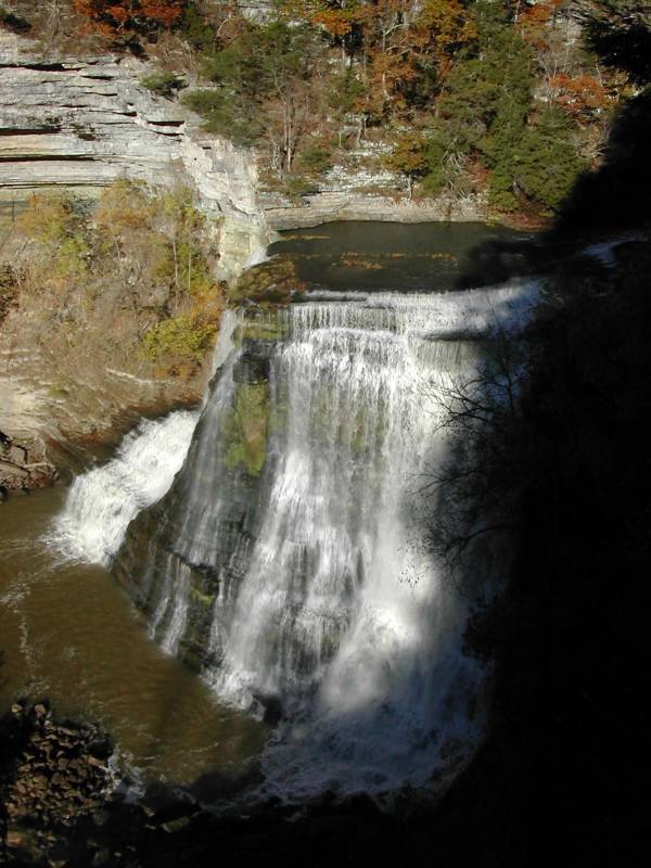
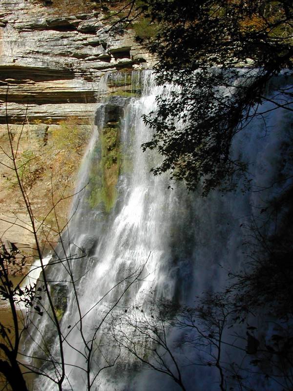
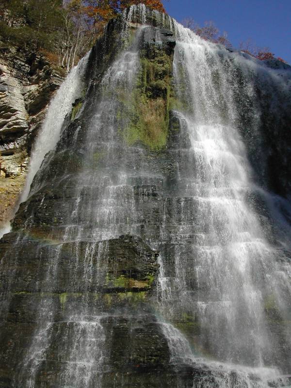
When the water is higher the falls spills evenly over the entire cliff. In lower water, as in the pictures on this page, most of the water goes over the left or right, with only some going over the center.
The falls are about 13 miles southwest of Cookeville and are easy to find. There are signs for it on Interstate 40. Turn South off the 286 ramp onto State Highway 135. Proceed on Hwy 135 for 7 miles following the signs to the park. The final turn into the park is very sharp. The trailhead is right next to the parking lot.
[Cumberland Plateau] Nearby Falls
The Middle and smaller falls are a short distance upstream. Falling Water River flows into Center Hill Lake, which was created by the damming of the Caney Fork River. Fancher Falls, Evins Mill Falls, Cul-Car-Mac Falls, and Twin Falls are all around Center Hill Lake. Virgin Falls, Cane Creek Falls, and Fall Creek Falls are all within an hours drive to the south. Cummins Falls can be found north of Cookeville, and a dozen other waterfalls are in the general area.
Photo Gallery
 |
 |
 |
 |
 |
 |
 |
|
This page has been accessed
127163 times.
Last Modified:
Monday, 13-Dec-2010 21:05:11 MST.