


Tannery Falls is in Munising, off of H-58. It is not as well advertised as the larger Munising Falls, but as a result it is somewhat wilder and less visited. Like other waterfalls in the area, it suffers from a lack of water in the summer.
Finding the falls is a little bit of a challenge. Right along H-58 almost opposite Sand Point Rd (which leads to Munising falls), there is a stairway leading up into hill. Do not park on H-58 because you will be ticketed. Park somewhere nearby. Follow the stair and the trail after it and you will soon be at the falls.
I was there on a rainy day in May, and even then there was not a whole lot of water flowing over the falls. One interesting thing about this waterfall is that a relatively recent cave in has blocked the creek just below the falls, forcing the creek back behind the falls along and under the edge of the gorge.
This falls is remarkably close to the MNA Memorial Falls, and can be easily reached from that waterfall.
[Lake Superior] [Munising] Nearby Falls
Munising Falls and MNA Memorial Falls are also right in Munising. They are both in walking distance. Wagner Falls is just south of Munising. Miners Falls, Chapel Falls and Sable Falls can all be found in the Pictured Rocks National Lakeshore.
Photo Gallery
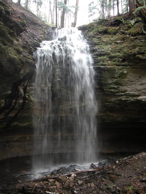
 May 2004 |
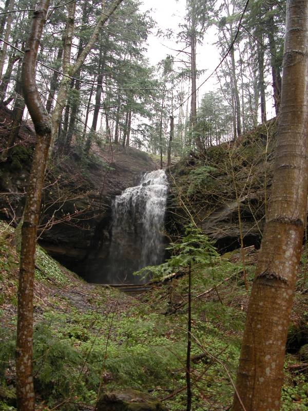 May 2004 |
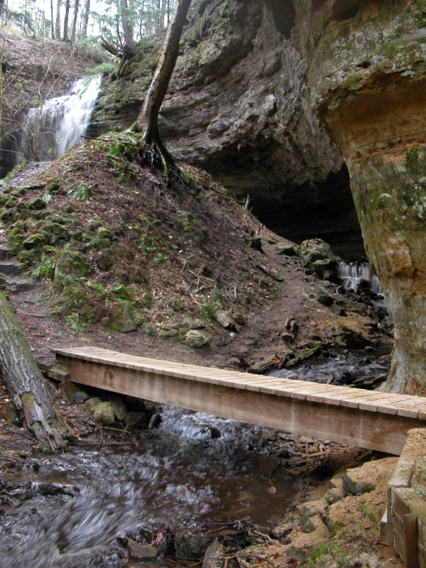 Notice the stream running under the cliffs |
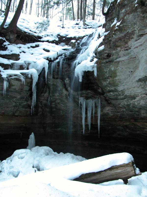 January 2006 |
This page has been accessed
81464 times.
Last Modified:
Saturday, 26-Nov-2011 13:37:58 MST.