


Chapel Falls is located in Pictured Rocks National Lake Shore. You can get a detailed map of the area from the Pictured Rocks headquarters in Munising. To reach the Falls, go west on H58 from Munising for about 15 miles. You will pass through the small town of Melstrand. A mile or two past Melstrand there is a dirt road off to the left marked with a sign that says "Chapel Area". Follow that road. The road is quite rough and bumpy and wild in places. I saw a bear crossing the road when I first visited the falls. There is a fork in the road. Stay to the right, or just follow the signs. There is a parking area at the trailhead.
The walk to the falls is about two miles through woods. You walk along side the gorge for much of the trip, and there are some steep drop offs. In the spring there are lots of wildflowers.
The trail crosses the creek just above the falls, and the best views can be found on the otherside where there is a viewing platform. The view of the falls is somewhat obscured by trees. This waterfall loses a lot of its beauty as summer progresses.
With some effort you can get into the gorge and work your way up to the base of the falls. You can continue on the trail for another 2 miles to reach Chapel Rock, which is very impressive, and Chapel Beach, but watch out for flies!!
[Lake Superior] [Alger County] [5 Mile Map] Nearby Falls
From the Chapel Falls trailhead, there is another trail that goes to Mosquito Falls. The Chapel Falls Trail, Mosquito Falls Trail and part of the North Country Trail, form a 12 mile loop that is one of the better hikes in Pictured Rocks. Spray Falls is two miles east of Chapel Beach. Miners Falls, Little Miners Falls and Sable Falls are also in Pictured Rocks. Wagner Falls, Munising Falls and other waterfalls are all in the immediate Munising area.
Photo Gallery
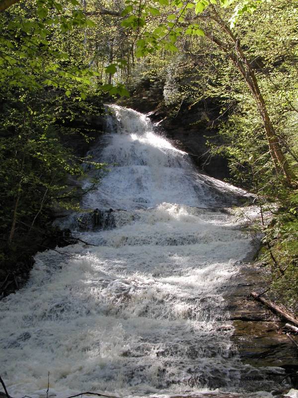
 In the Gorge |
 View from the near side |
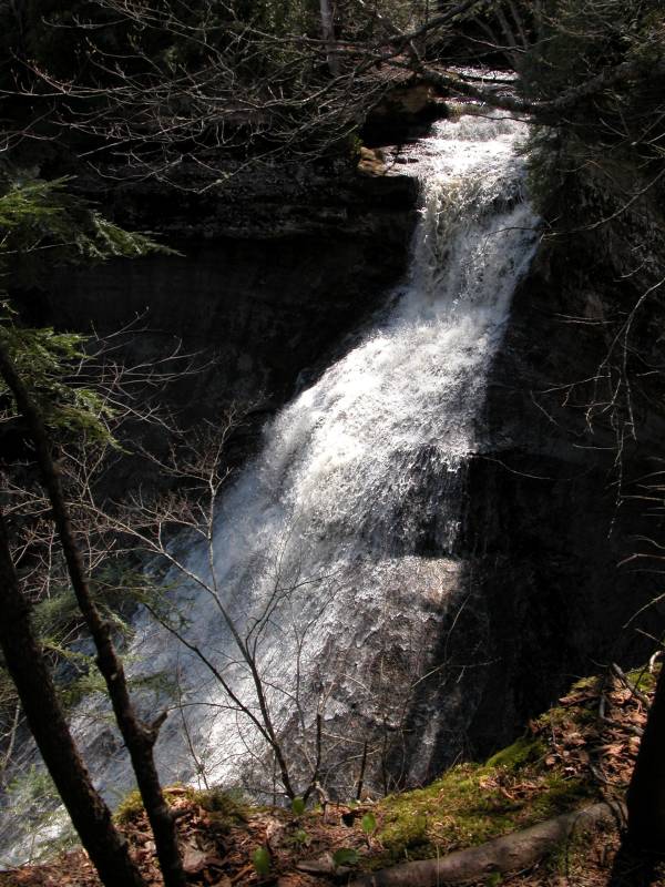
 Base of Falls May 2005 |
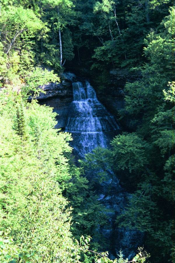 June 2001 |
This page has been accessed
109804 times.
Last Modified:
Saturday, 20-Feb-2010 08:14:51 MST.