


Potato Falls is in Gurney Wisconsin. This is a very impressive waterfall. If you are tired of having your hands held by the State Parks and are looking for a big waterfall that you can freely climb all over, risking life and limb, this is the one for you.
The waterfall is located in a county park in Gurney. The park is easy to find, and there is no fee. Gurney is on Hwy 169, about 12 miles northeast of Copper Falls State Park and about 3 miles south of US 2. The park is at the end of Potato River Falls Road, west of Hwy 169. Potato River Falls Road is gravel, but it is in good shape and the park is just about a mile from Hwy 169.
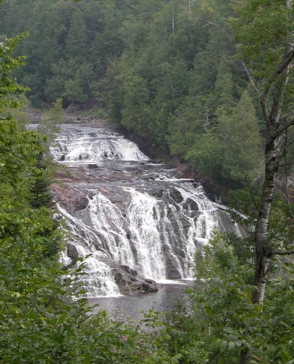
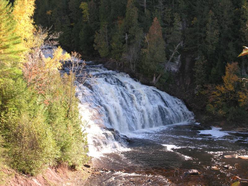
The park consists of a parking lot, a picnic area, a pit toilet and some trails to view the falls. There is an observation deck right by the parking lot from which you can get a somewhat obstructed view of the falls. It is tempting to try to get down to the river from here, and you will see evidence of people having worked their way down the steep hills, but if you go back to the parking lot you will find a maintained trail complete with stairs that will take you down into the gorge. At the bottom of this trail there is a observation deck from which you can get a nice distant view of the entire waterfall.
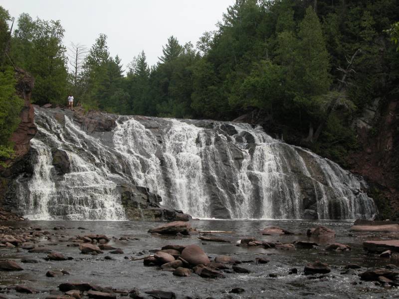
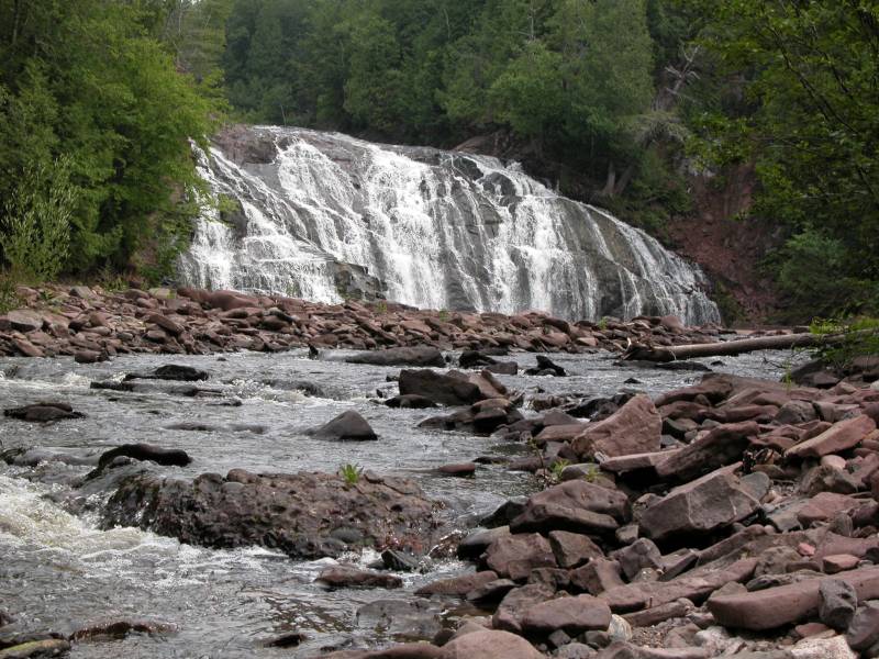
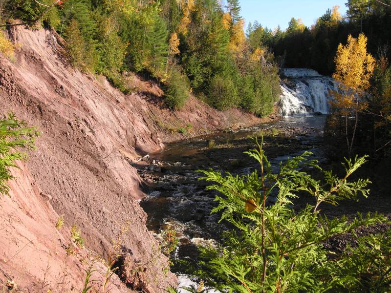
You can get even closer if you wish. The trail leads to the river and you can walk upstream towards the falls. Unfortunately you will have to wade across the river at some point. The walls on the side of the river you will be on become sheer and there is no river bank. In the spring crossing the river may not be possible. If you do cross the river you can get right up to the base of the falls. There are some also precarious spots from which you can get dangerous view of the falls.
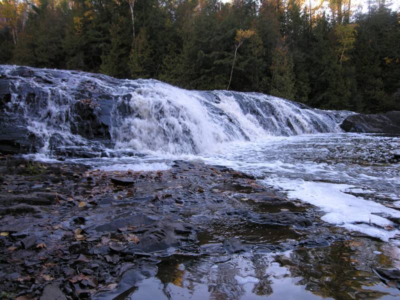
You can also get to the top of the falls if you take the trail that leads to the upper falls. From here you can get down to the river bank and carefully walk downstream to the brink falls. Along the way you will pass the cascades that make up the upper part of the lower falls. Note the person standing at the edge of the falls in the picture below.
Here is a 7 second movie of Potato Falls.
[Lake Superior] [Iron County] Nearby Falls
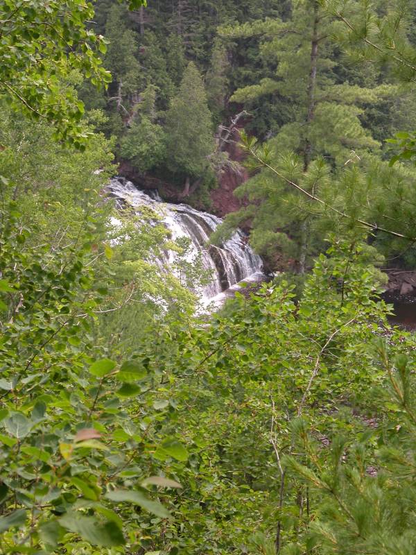
There are a lot of waterfalls in this area. The Upper Falls are a short walk away. Note, the Upper Falls are not visible in the picture above. Copper Falls and Brownstone Falls are 12 miles away to the southwest. Just follow Hwy 169. Superior Falls is about 15 miles away to the northeast. This map shows the location of many nearby waterfalls.
Photo Gallery
 View from the observation deck |
 |
 |
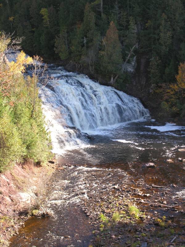 October 2006 |
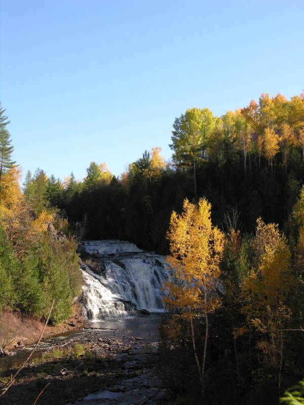 October 2006 |
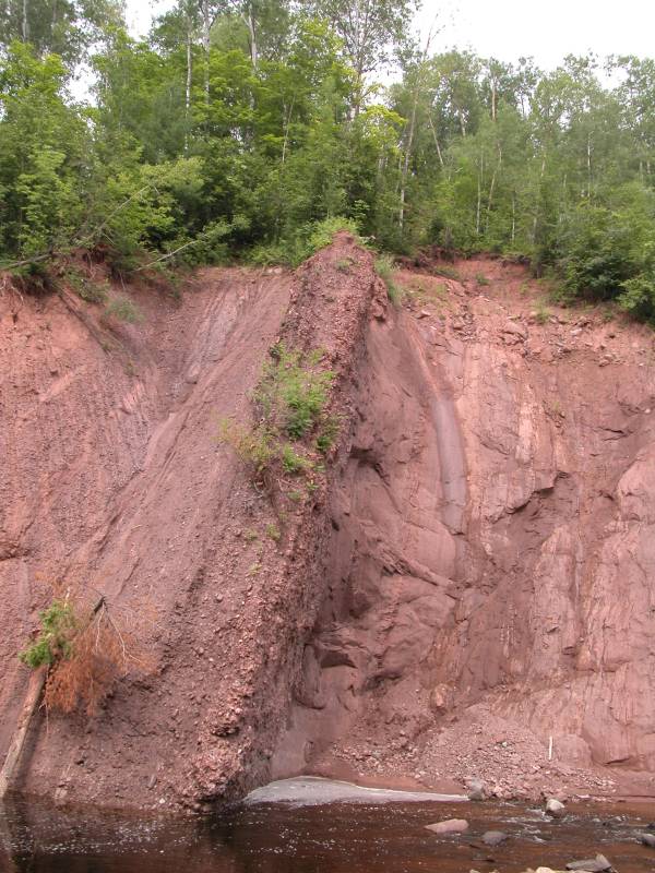 The gorge walls |
 October 2006 |
 October 2006 |
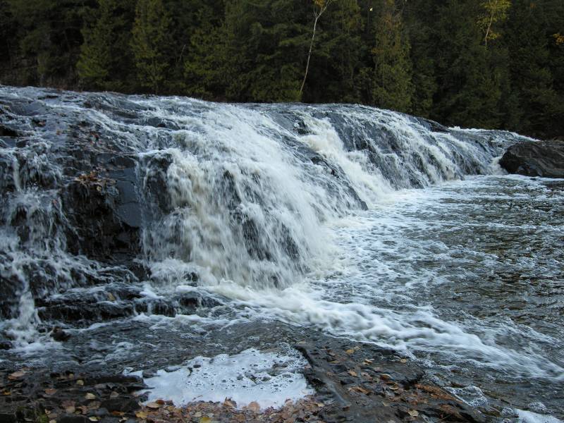 The cascades between the falls |
 |
This page has been accessed
153580 times.
Last Modified:
Thursday, 24-Sep-2009 19:27:09 MDT.