


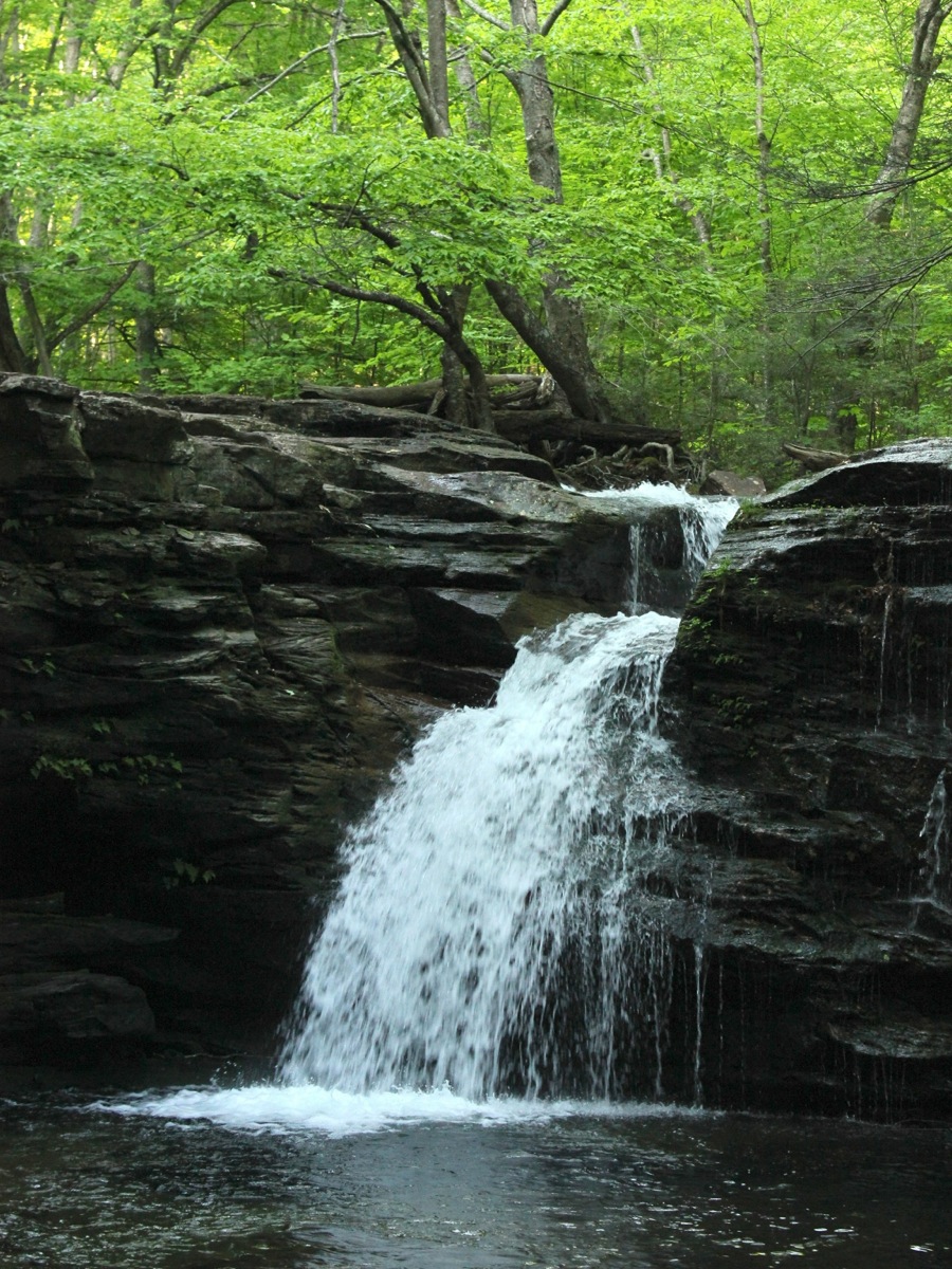
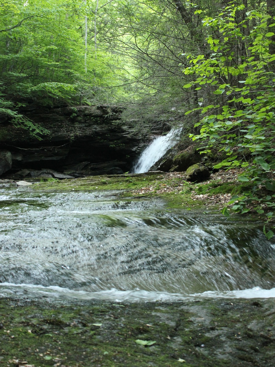
Twin Falls is a pair of 15' drops on Heberly Run located in State Game Lands 13. The two drops are a couple hundred feet apart and are very dissimilar. The upper drop falls through a notch in the rock. The lower drop is wider, and not as steep.
Reaching this waterfall is much easier than Big Heberly Falls. There is a blazed trail that descends down to the falls from the road. The trail does not get a lot of traffic, so it is not very distinctive, but the blazes are very visible. To reach the base of the upper drop you have to scramble down a steep bank. Reaching the base of the lower falls would be much harder, as the gorge walls are much steeper and higher.
The falls are located along Grassy Hollow Road. This is a rough road, but makes for easy hiking. Grassy Hollow Road is gated at times. From the gate, hike 1.3 miles. You can actually see the falls from the road, and after Big Falls, may be tempted to just try to scramble right down to seem them. Instead, continue a bit further to where there is a wide clearing on the right, and look for a trail into woods. There was a sign when I visited. The trail is not very distinct, but it is not very steep and there are blazes.
To reach the trailhead from Route 118, head west from Red Rock for 4.6 miles and take Central Road north. That is the name of the road according to Google maps, but I do not recall seeing an actual road sign that said 'Central'. Follow this winding road for about 1.7 miles and take a right onto Jamison City Road. Follow this road for 1.0 mile. At this point you will find Market Street on your right, which crosses a bridge. This is the road to Sullivan Falls. Do not turn on to Market Street, but continue straight. The pavement will soon run out, and the road gets a bit rough. The gate is another 1.2 miles way. There is a parking area at the end, but there is another one a bit earlier, which you might want to stop at if you do not have a rugged vehiclel.
If you are already at Ricketts Glen, from the main park entrance, head north on Route 487 and take the first road on your left. This is just a few hundred feet north of the park, and the road sign says "Sullivan Falls Road". Follow this road for for 3.4 miles, taking a right to cross the bridge. This is Market Street. Take the next right, and follow it to the trailhead.
Nearby Falls
Big Falls is .7 miles upstream. Lewis Falls ia .4 miles upstream. The much larger 36' Sullivan Falls is a five mile drive away, but about a mile away as the crow flies. It is possible to hike up Heberly Run, and then hike down Sullivan Run and see 8 or so falls of various sizes. Ganoga Falls and the many falls of Ricketts Glen are a 5 mile drive away.
Photo Gallery
 Upper Drop |
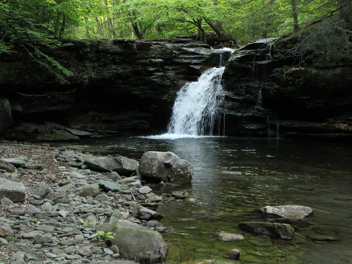 Upper Drop |
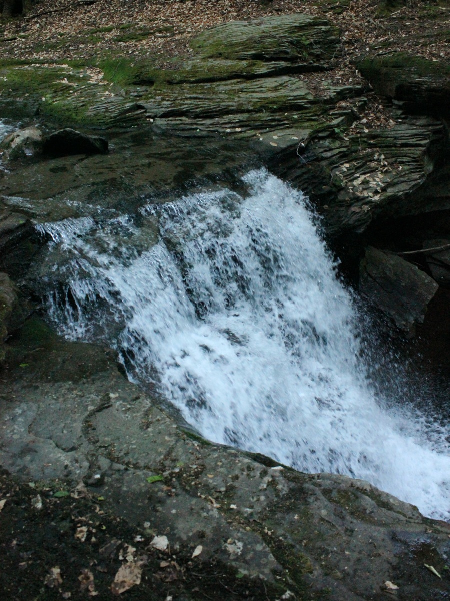 Lower Drop |
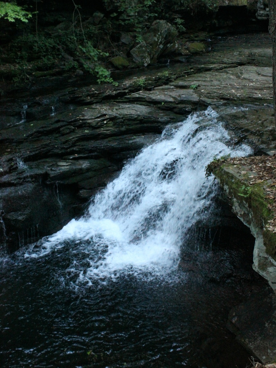 Lower Drop |
 Looking back towards the upper drop |
|
This page has been accessed
17170 times.
Last Modified:
Sunday, 09-Aug-2015 13:24:34 MDT.