


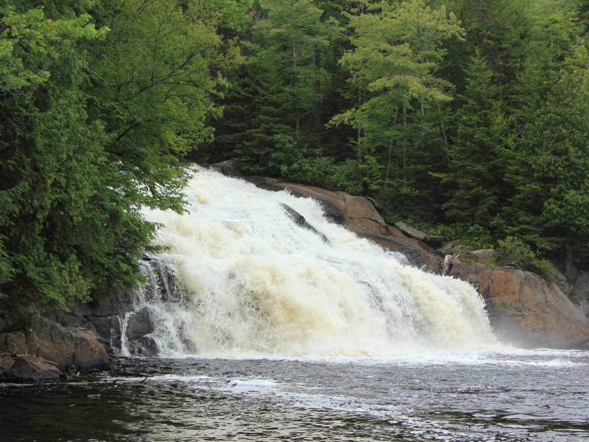
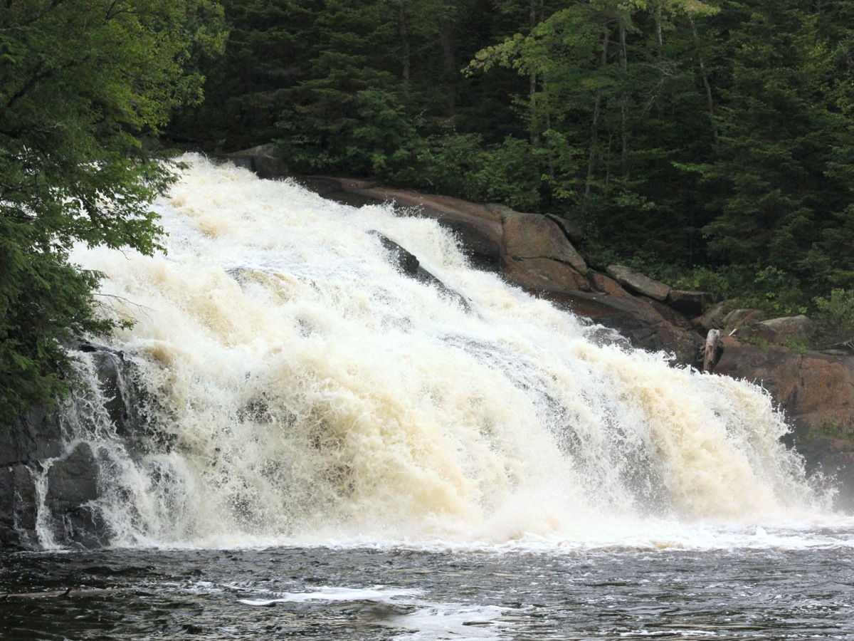
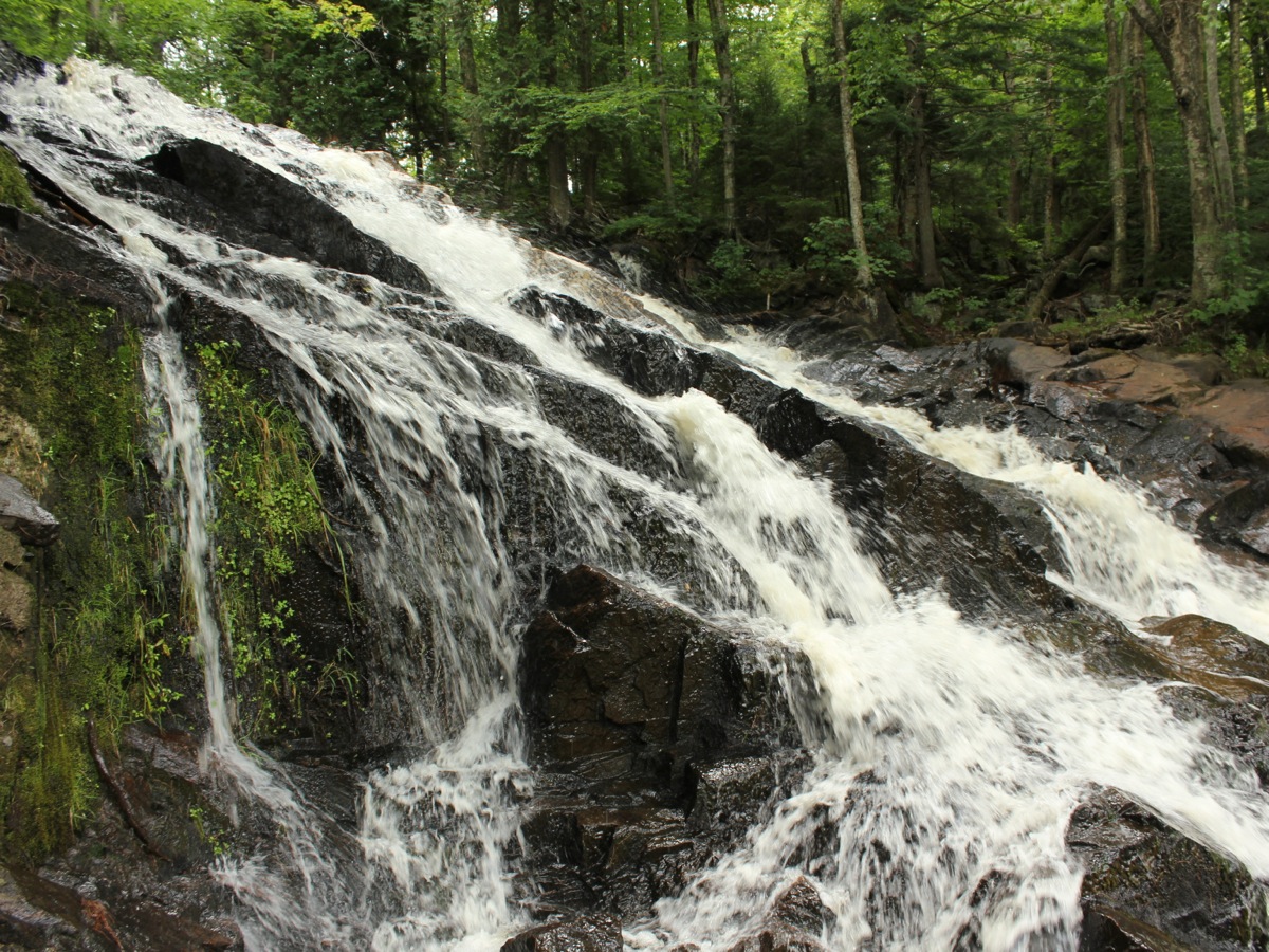
Twin Falls is a pair of waterfalls formed by an island in the Grasse River. The river flows around the island, creating two very disimilar waterfalls. Most of the water flows over the west falls, a 50' wide steep cascade. The eastern (or northern) falls is much narrower and in drier weather is reduced to a trickle.
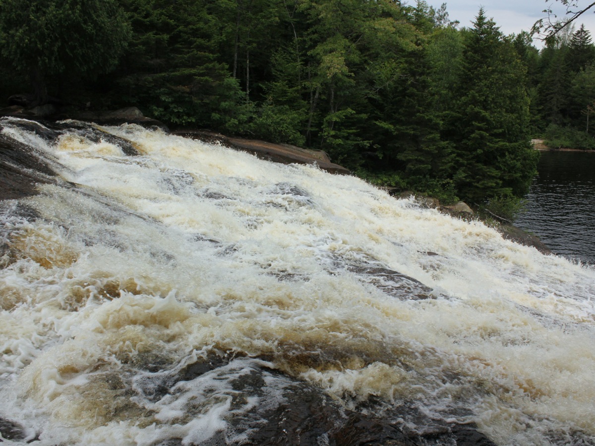
The falls is located along Tooley Pond Road, 3.5 miles south of its terminus at County Route 27. There is a small turnout with room for 2 or 3 cars, with a DEC (Department of Environmental Conversation) sign, and a no littering sign. The eastern falls is right by the road and clearly visible. You can walk along side the falls, and with some effort can get down to the base.
The western (or southern) falls is not so easy to see. The land below the falls is private, but I believe the island itself is DEC land. You can cross at the top of the eastern falls and follow the trails across the island to see the western falls. The island is only a couple hundred feet wide. You can also climb down to the river below the falls. You cannot really reach the base of the western falls, but you can reach the base of the eastern falls.
Both falls can be seen simultaneously from a dirt road off of Tooley Pond Road just downstream of the falls. When I visited the road was a gated with a no trespassing sign.
There is stone work above the east falls that was part of the old iron works that was here. On the shores below the falls are all sorts of interesting chunks of glassy rock, that presumably were also created by the iron works.
People kayak and canoe the Grasse River. It is a little scary to see how calm the river is just above this waterfall. There really is not much warning that a big drop is coming up.
Another odd thing about this waterfall is that it seemed, to me at least, that a lot more water was going over the Twin Falls than was going over either of its downstream neighbors, Sinclair Falls and Basford Falls. I do not think that could actually be possible, and must be a result of this waterfall being much higher and steeper.
Nearby Falls
This is the biggest of this series of falls on the Grasse River. Sinclair Falls is a mile downstream, and Basford Falls is a half mile below that. Rainbow Falls is 2.5 miles upstream, and Copper Rock Falls is 2.5 miles beyond that. Between Twin Falls and Rapid Falls are Stewart Rapids, for which I could not find a place to park, and Flat Rock Falls, which apparently is on private property. The even larger Lampson Falls is only 8 miles to the north along Country Route 27.
Photo Gallery
 |
 |
 |
 |
 |
 |
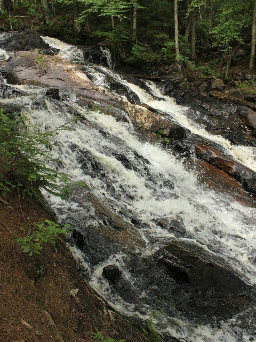 East falls from side |
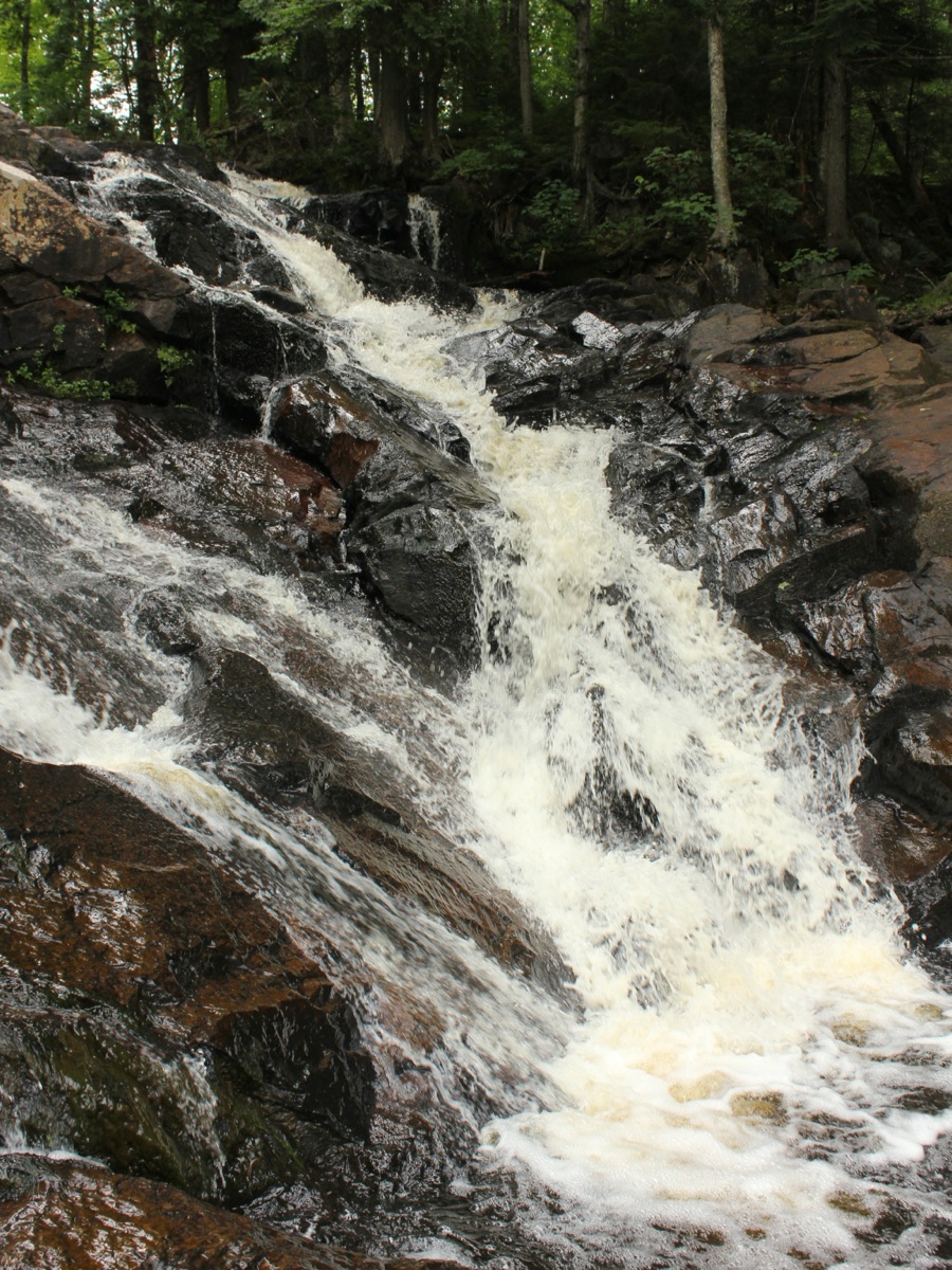 |
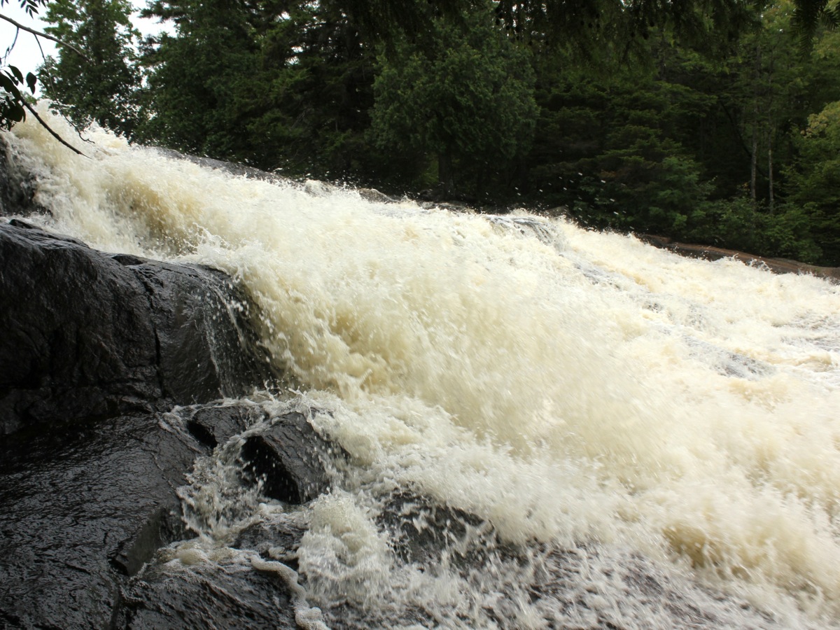
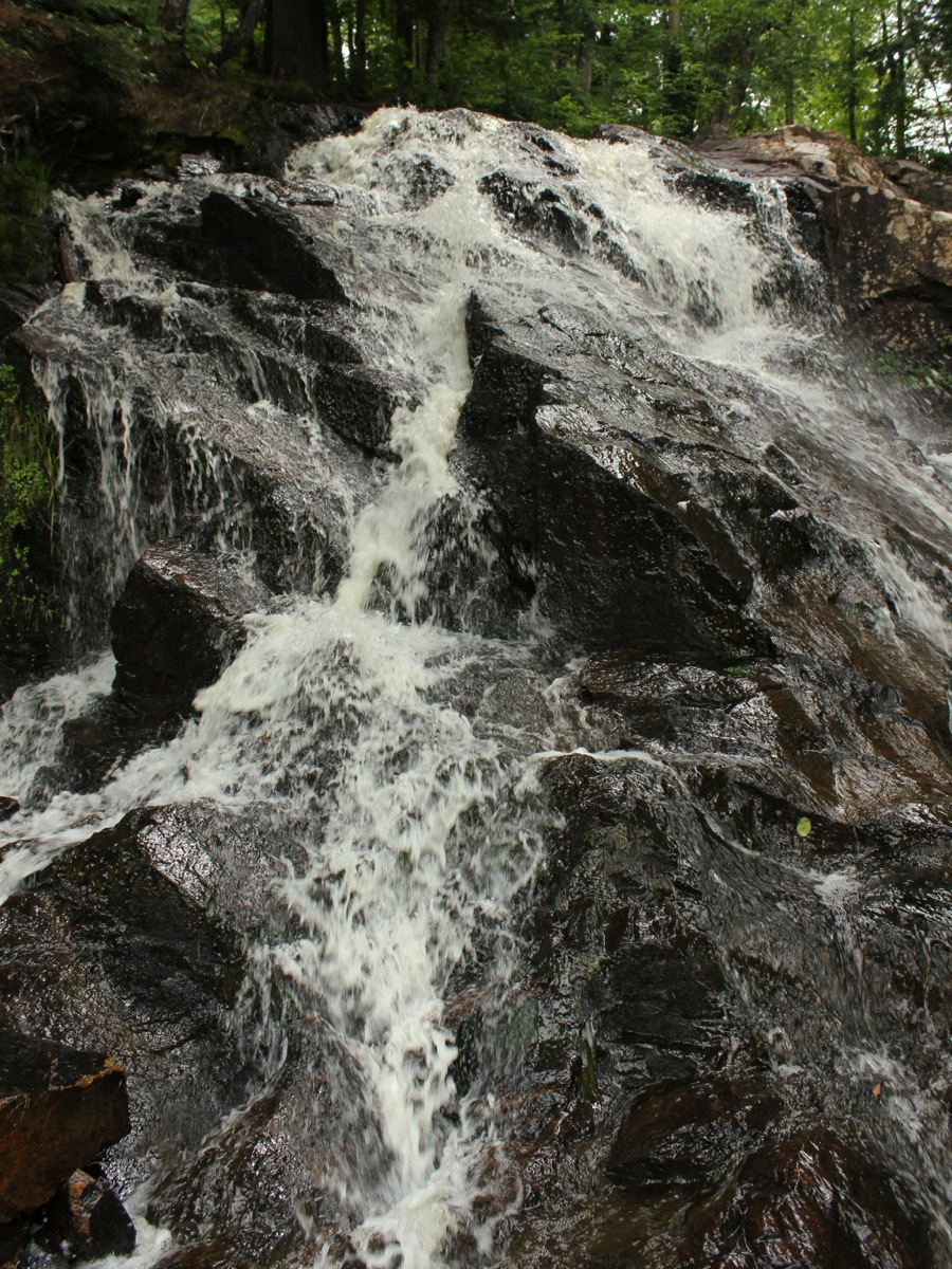 East falls from base |
 East falls from base |
 |
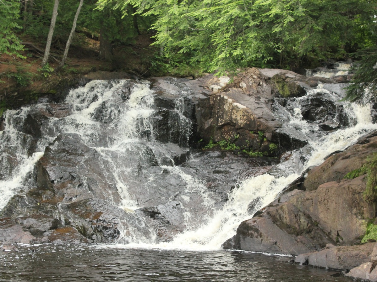
 Peaceful river above the falls |
This page has been accessed
14867 times.
Last Modified:
Monday, 03-Aug-2015 17:10:49 MDT.