Munising Michigan is located at the western end of the sandstone
cliffs that dominate the Pictured Rocks
National Lake Shore.
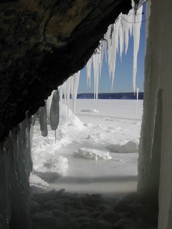
Every winter, water seeping over and through the sandstone
freezes forming ice columns, curtains and other formations.
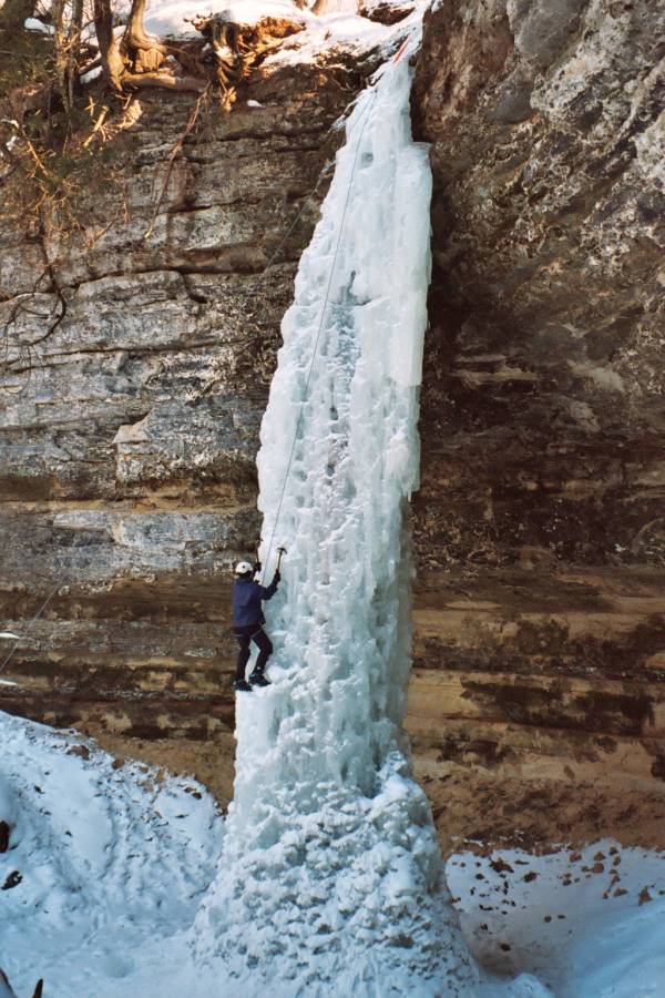
Ice climbers flock to the area to tackle
the ice, but even if you do not climb the ice formations are
a fascinating sight.
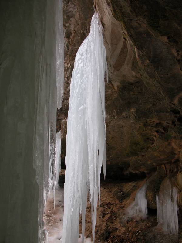
Sand Point Road
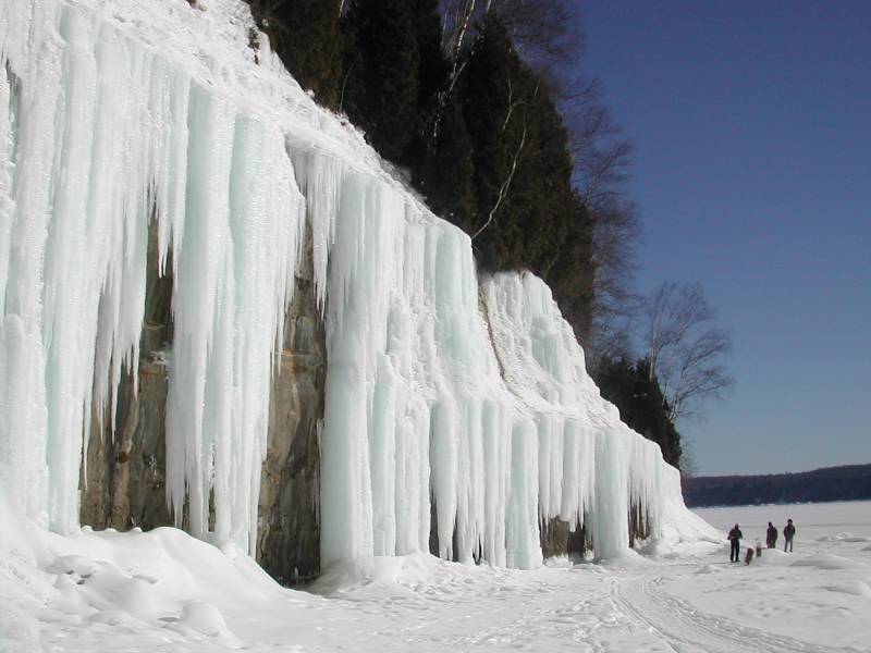
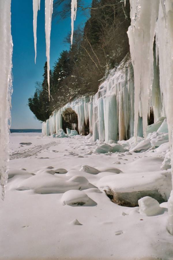
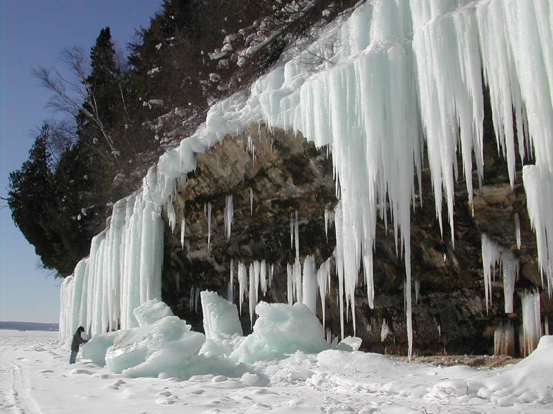
The most accessible ice can be
found along Sand Point road, beyond Munising falls.
The road roughly parallels the cliffs of Pictured Rocks.
The formations are generally not visible from the road, and
there are no signs, so you will have to do some exploring.
Also you cannot park along the road, so you will have to
do some walking.
There is a parking area at Sand Point,
and from here you can walk back up the road. Take a left
into the woods at any likely spot, such as a trail
left by someone else, or evidence of water flowing
down from the cliffs.
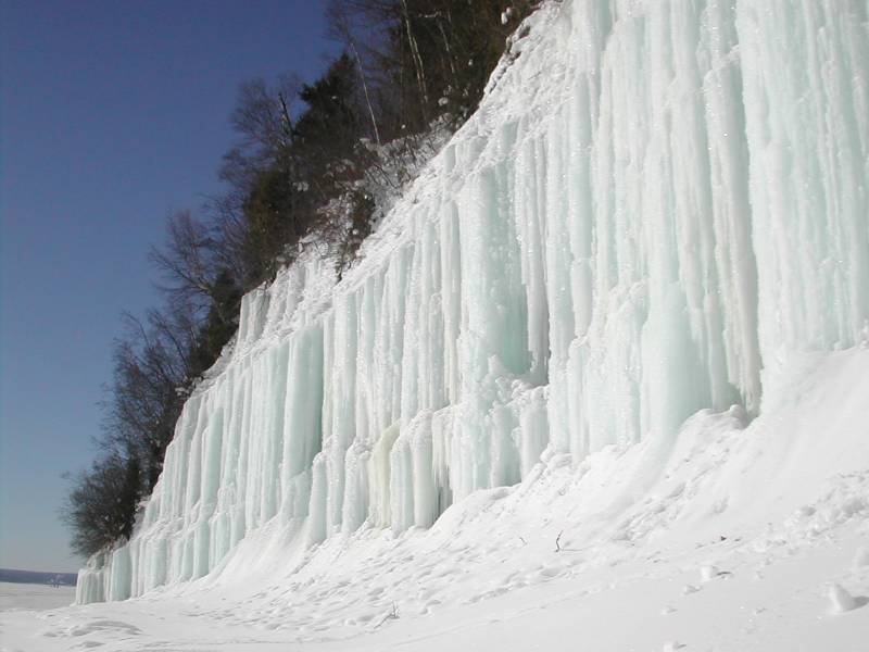
The cliffs are only a few hundred feet from the road,
and there is a rough natural trail at
the base of the cliffs, but climbing up to the cliffs
may be a challenge in the snow and ice. Even when there is
a trail to follow it may be quite icy, and the terrain
under the snow may be uneven. There are several
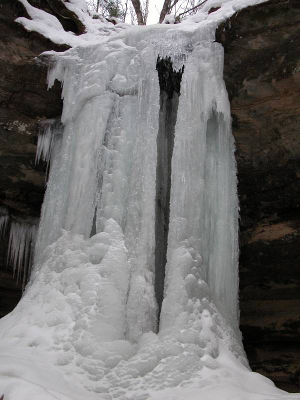
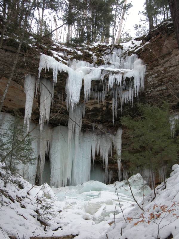
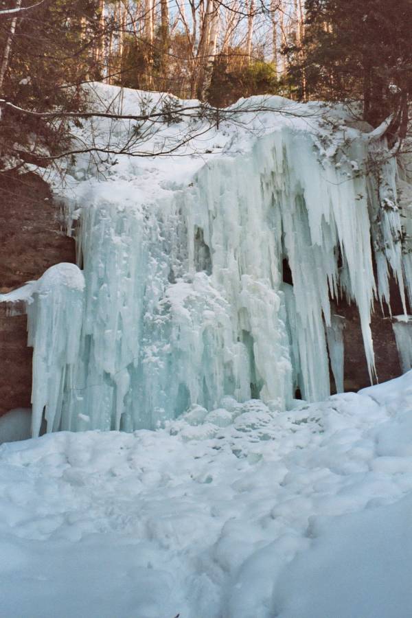
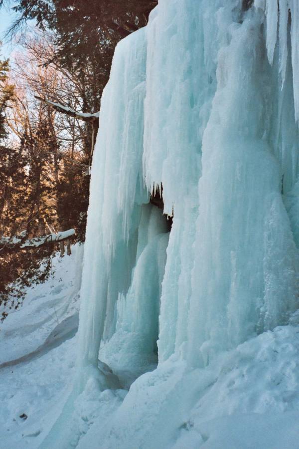
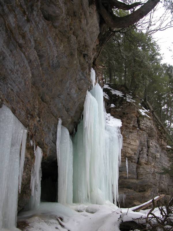
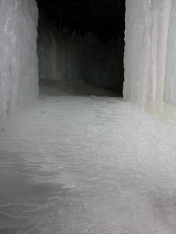
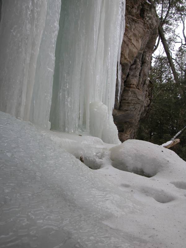
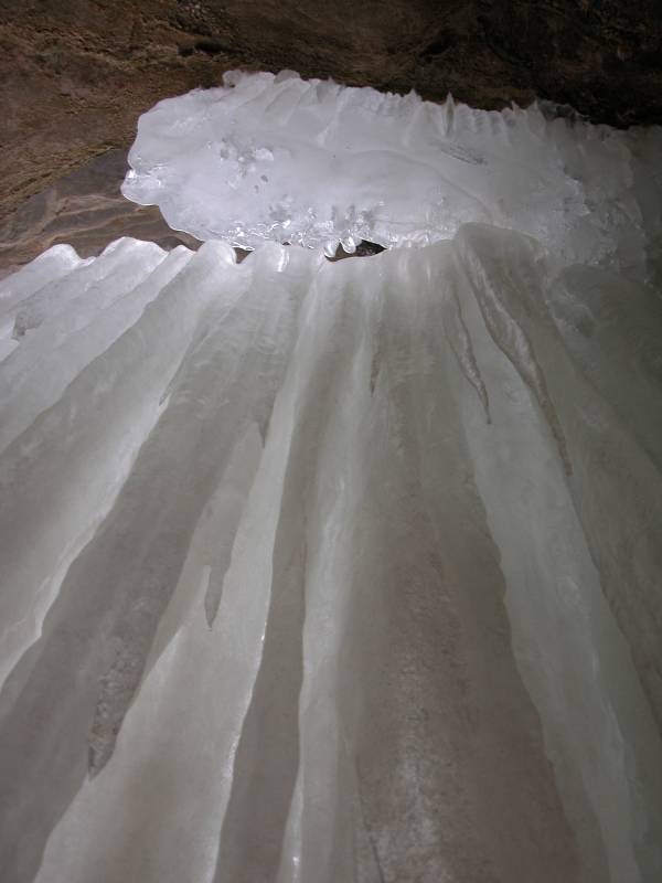
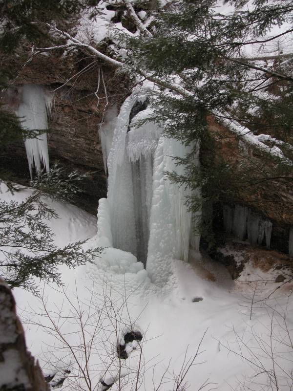
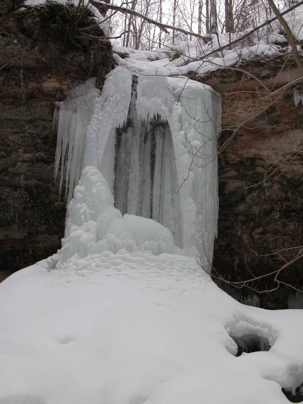
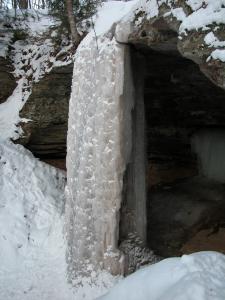
ice columns and ice curtains along this stretch. Below
are pictured three different ice columns, two different
curtains and some miscellaneous formations. The pictures
were taken in either February 2003 or January 2006.
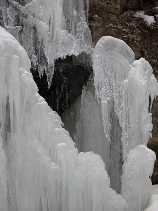
Grand Island
Grand Island sits in Munising Bay. In summer there
is a ferry service that takes you to the island,
but in winter the bay usually freezes over and you
can walk, ski or snowmobile out to the island.
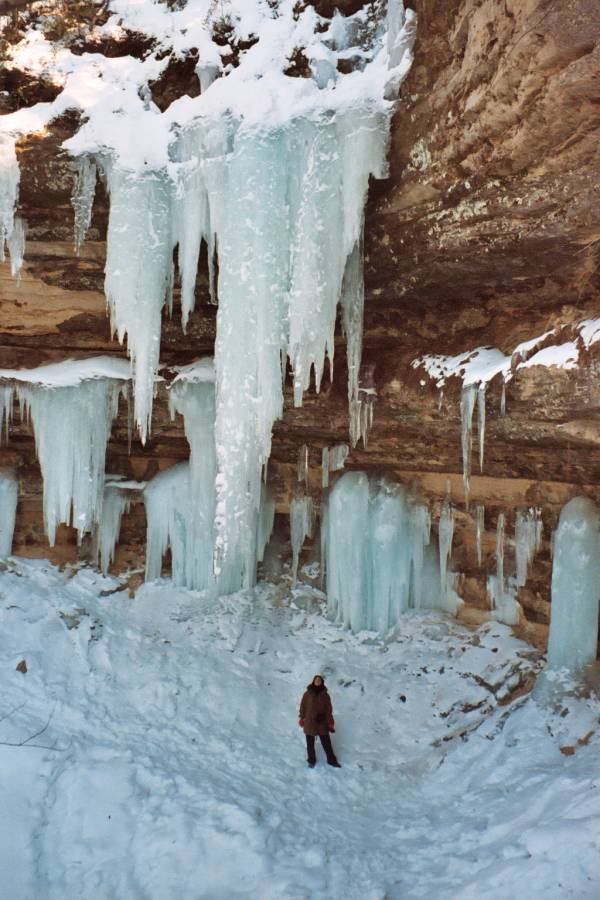
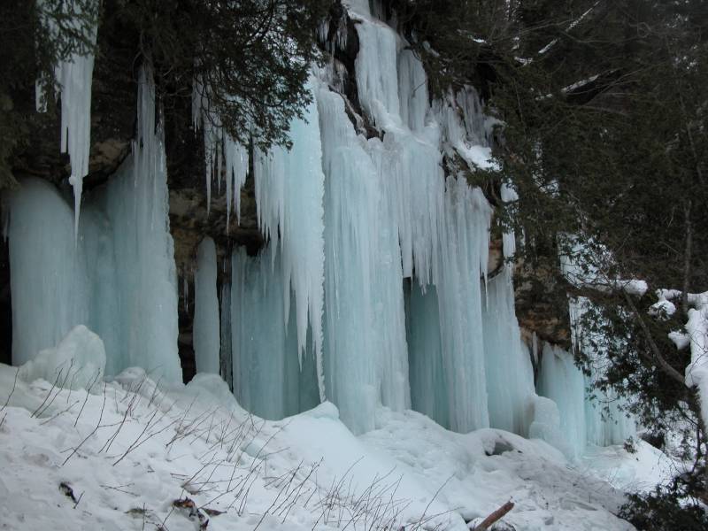
Numerous ice formations form on the sandstone
cliffs shores of the island.
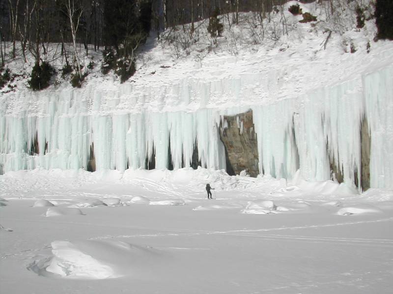
The most accessible ice is on the east side of the
island opposite Sand Point, but there is ice all
around the island. All the pictures below are
of the cliffs opposite Sand Point and were taken
in February 2003.
Check
with the locals on the ice conditions before
crossing.
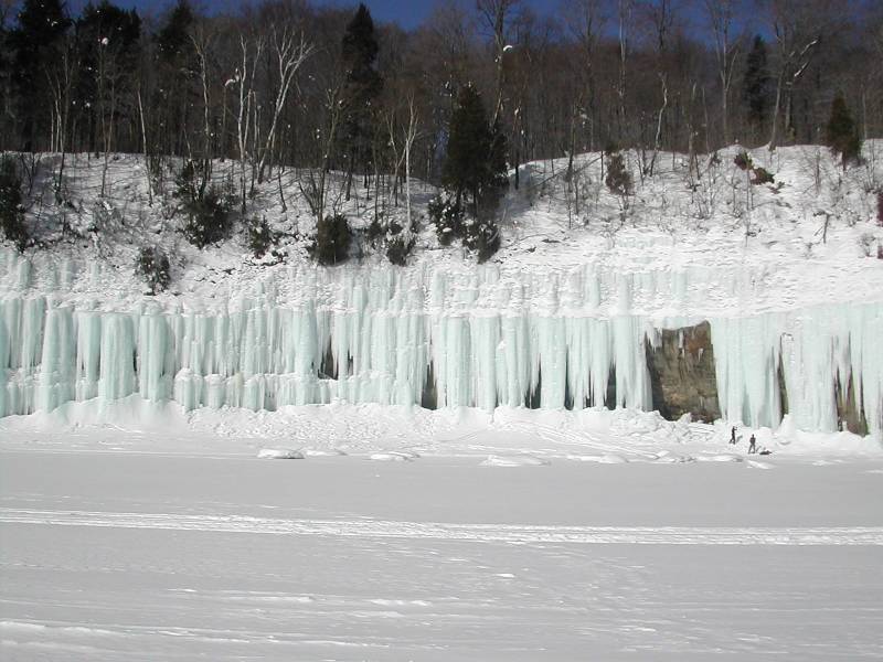
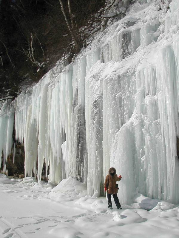
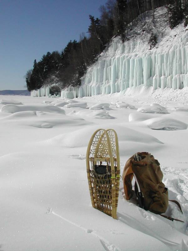
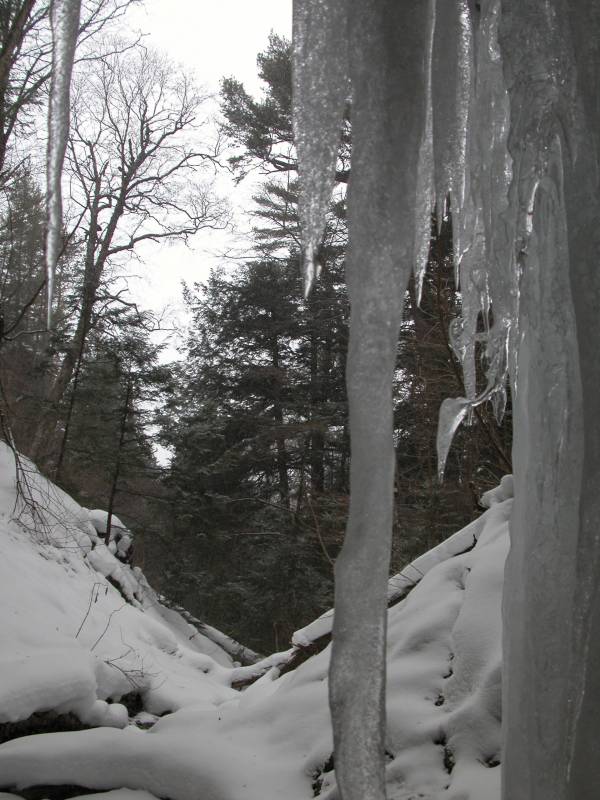
Beyond Sand Point
Shortly before the Sand Point parking area, Sand Point road
veers away from the cliffs. A large marsh fills the area
between the road and the cliffs, and reaching the cliffs
now requires a hike of about 1 mile along the trail that
connects to the Lakeshore/North Country Trail.
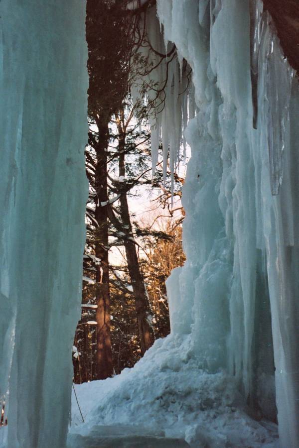
Again there are many ice formations to be found
along this more remote stretch of cliffs, and visiting
them requires a bit of work.
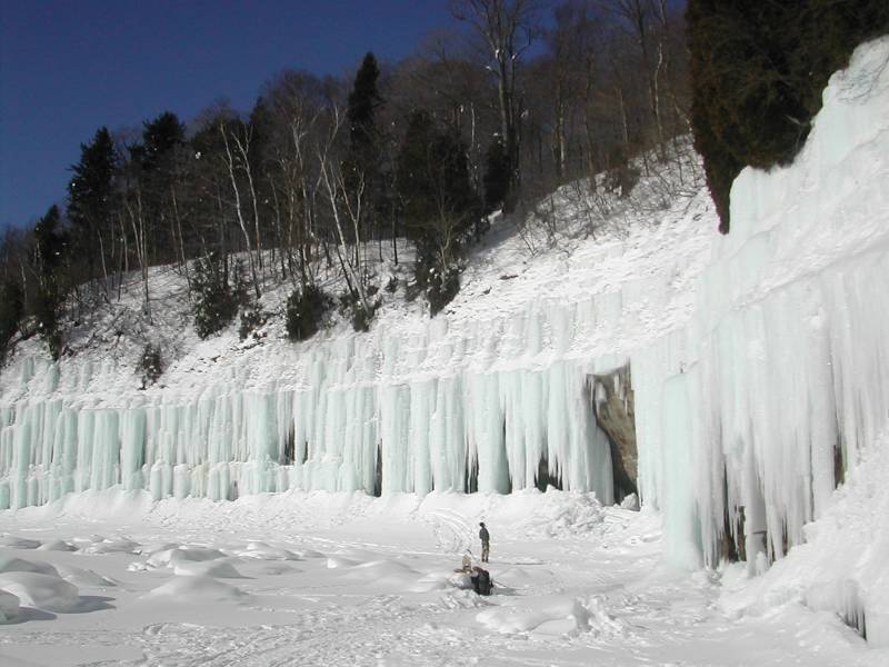
All of the images are of ice found south of the
junction of the stairway that climbs up to the Lakeshore/North Country Trail.
There is of course ice
north of here, and the really adventurous can find
ice throughout Pictured Rocks.
The Munising Cross Country Ski trail's G loop travels
along the cliffs above all the formations pictured below.
You will not really be able to see them from above, but you
can ski to the stairway on the Lakeshore trail and use that
to descend to the base of the cliffs.
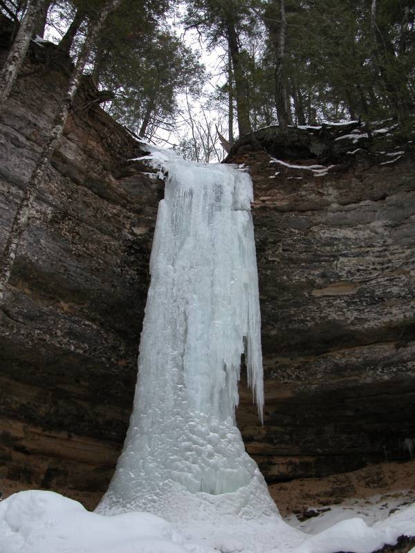
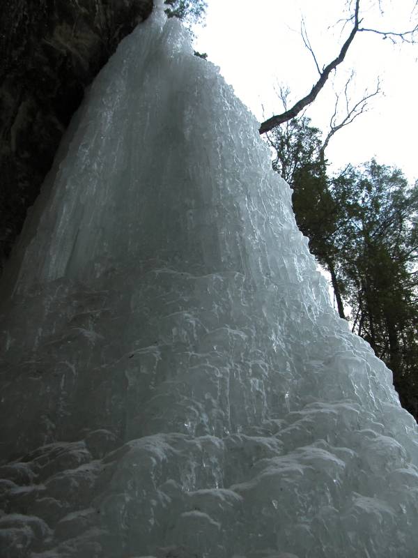
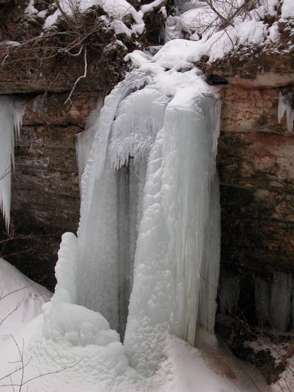
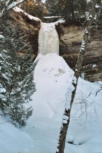
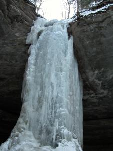
Waterfalls
In the winter the waterfalls freeze forming ice columns.
Even very small waterfalls can produce very impressive
columns as weeks worth of water accumulate.
This page has been accessed
16557 times.
Last Modified:
Tuesday, 25-Mar-2008 16:04:12 MDT.