


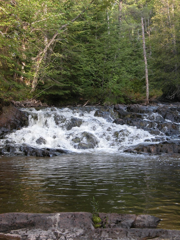
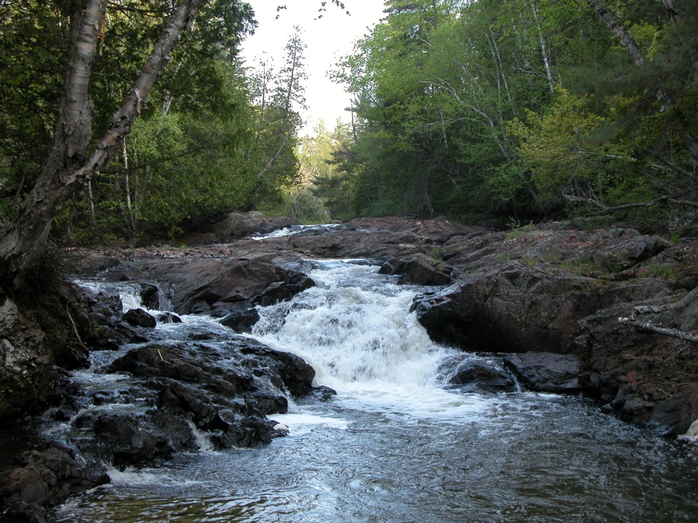
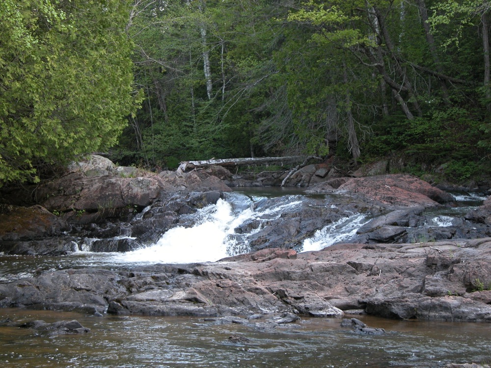
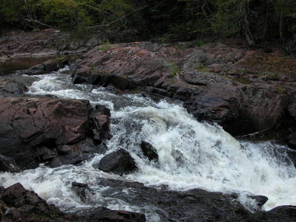
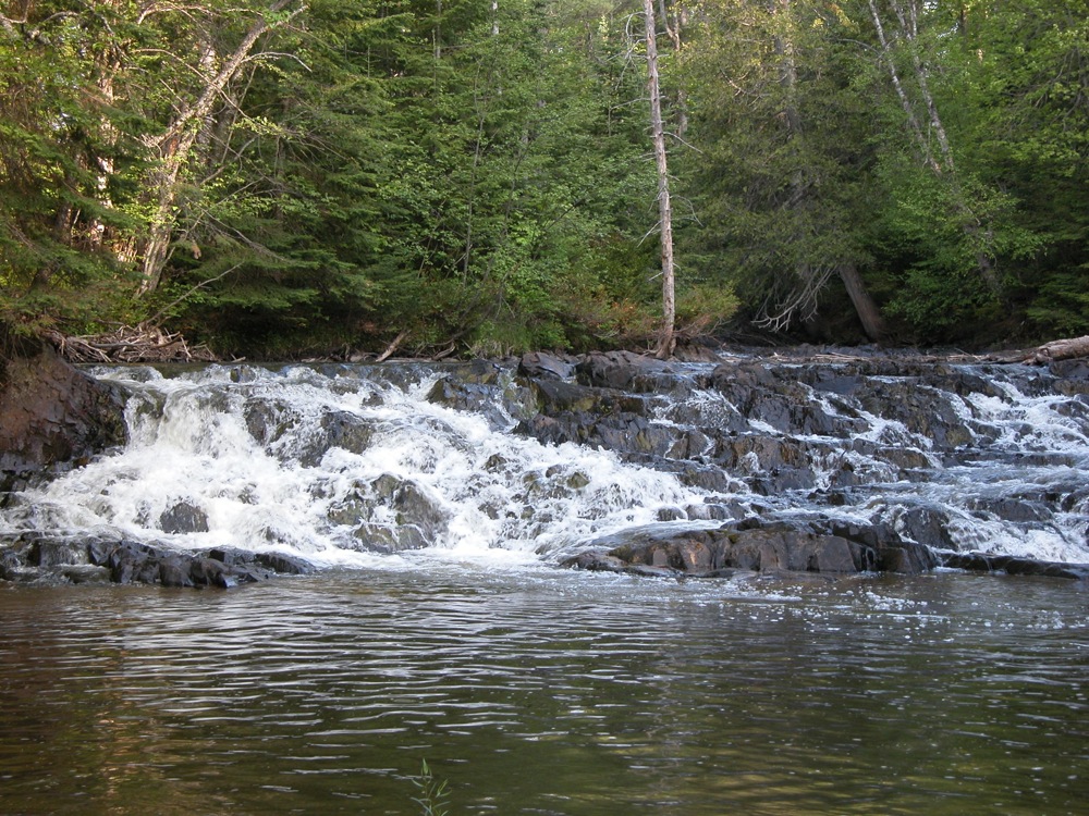
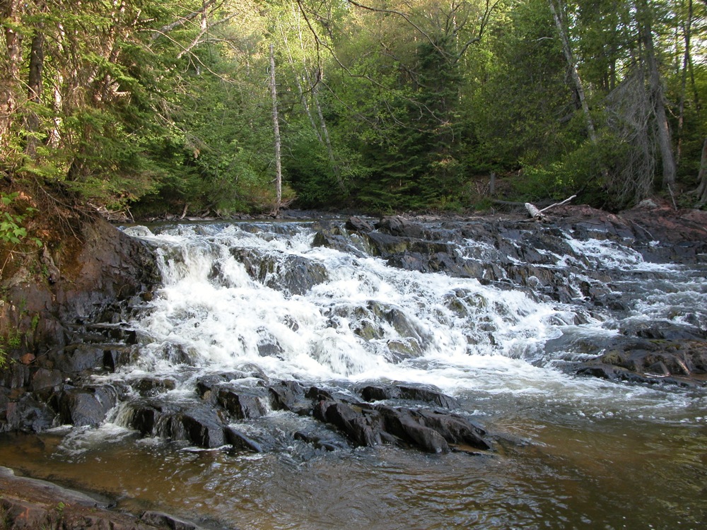
Pancake Falls is a small set of falls on the Pancake River, located in Pancake Bay Provincial Park. There are at least three distinct drops, none more than 5 feet high. The uppermost (or at least the uppermost that the trail passes), is the most impressive.
The trail head is located on the north side of Hwy 17, across from the campground. From the highway, turn onto Lookout Road, which is 2km west of the campground entrance. The trailhead is a few hundred feet down this road on the right. There are several trails here, forming a couple of loops. In addition to the falls, there is a lookout trail you can hike to. The trail to the falls is a combination of foot trail and old logging roads. The trail to the falls is part of a 10km loop trail. Bikes are permitted on the trail.
The waterfall is named for the river, which is named for the bay. Pancake Bay was so named because this is where the Voyageurs used up the last of their flour to make pancakes on their way to Sault Ste Marie.
This is a small waterfall. There are several larger and easier to visit falls in the area.
Nearby Falls
The larger roadside Chippewa Falls is 20km to the east. Batchawana Falls is about the same distance, but on forest roads. Montreal Falls is 40km to the north, and Lake Superior Provincial Park and its many waterfalls are north of that. Beaver Falls is a 50km drive to the south and east.
Photo Gallery
 |
 |
 |
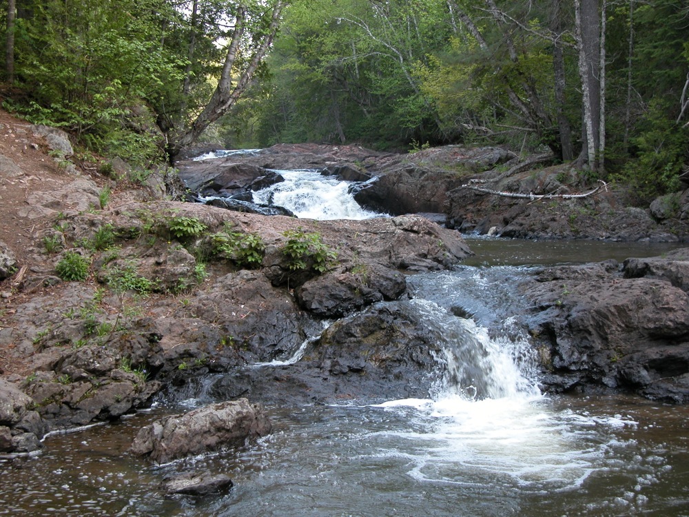 |
 Uppermost drop |
 Uppermost drop |
This page has been accessed
34632 times.
Last Modified:
Tuesday, 01-Jun-2010 21:19:45 MDT.