


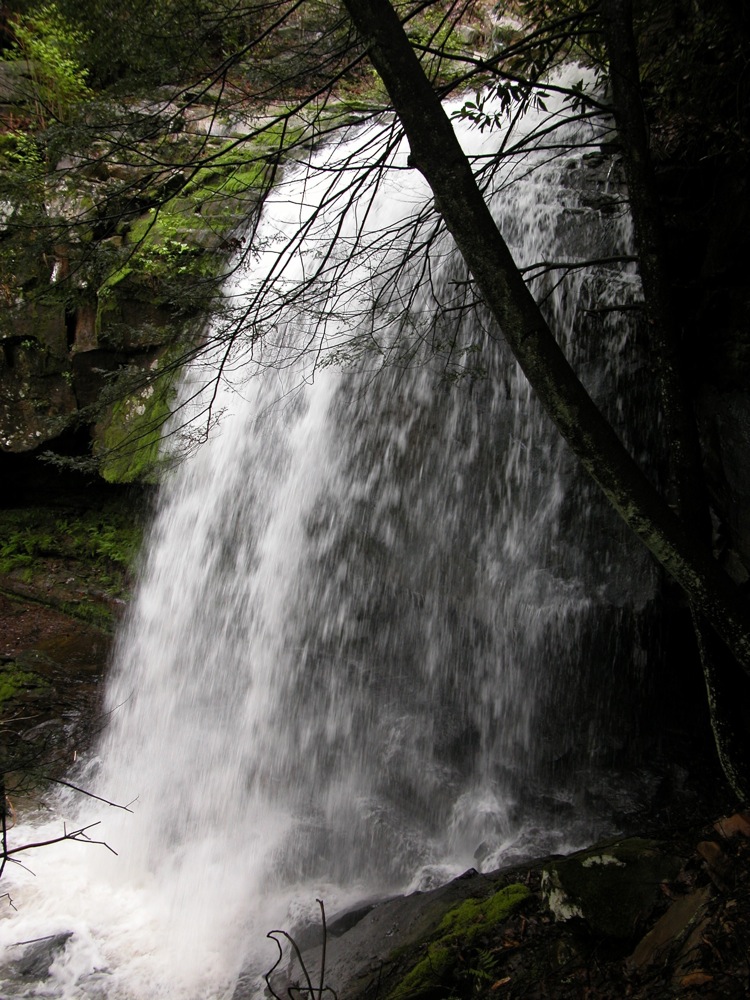
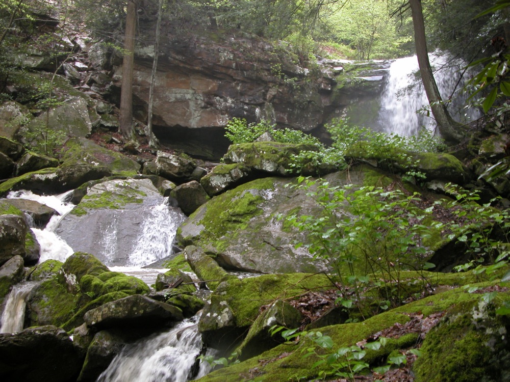
Marr Creek is one of many creeks that tumbles into the New River Gorge. It drops about 400 feet in its final 1000 feet, with one big drop of over 30 feet, and many smaller drops and lots of rapids. The creek is somewhat seasonal, and the falls are reduced to a trickle in dry weather.
The falls are located along the Fayette Station Road as it exits the gorge. The main falls and a smaller drop above it are visible from the road, but there is no place to park, and the gorge is extremely sheer below the big drop. Fortunately, there is a nice trail on the northern side of the creek. If you continue driving past the falls, there is a road to the right which leads to a subdivision they are building on the north side of the creek. I do not know if the trail is a part of the development or not. There were no signs. The trailhead is located on the north side of the creek just past the small bridge. The well defined trail complete with blazes follows the creek all the way down to the river, passing the big falls along the way. Hopefully the trail is part of the National Recreation Area and will remain open to the public.
There may be some more photo worthy drops on the creek, but none were clearly visible from the trail. There were a couple sections that looked promising, but getting a good look would require a difficult scramble down into the gorge.
The trail head is located just where Fayette Station Road stops being a two way road, so you do not have to drive all the way down into the gorge and back up to reach it, but can instead turn north onto Fayette Station Road from US 19, and drive about 1/2 mile.
Two of the photos below were taken in the evening, resulting in some silky waterfall photos. I am personally not a fan of the "waterfall effect", because real waterfalls do not look like that.
Nearby Falls
The smaller, but harder to see Wolf Creek Falls is a half mile back on Fayette Station Road, but because the road is one way you would have to drive back across the big bridge and then down through the gorge again. The similar Laurel Creek Falls is about 8 miles to the north. Dunloup Falls is a 15 mile drive to the south.
Photo Gallery
 The upper drop |
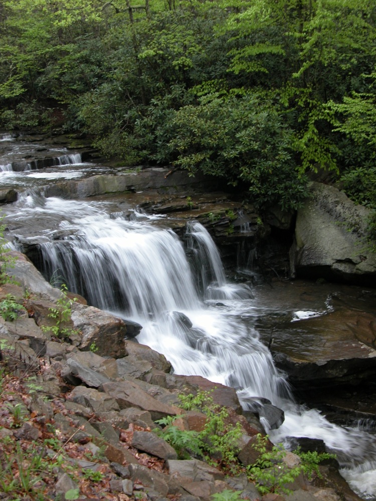 The upper drop |
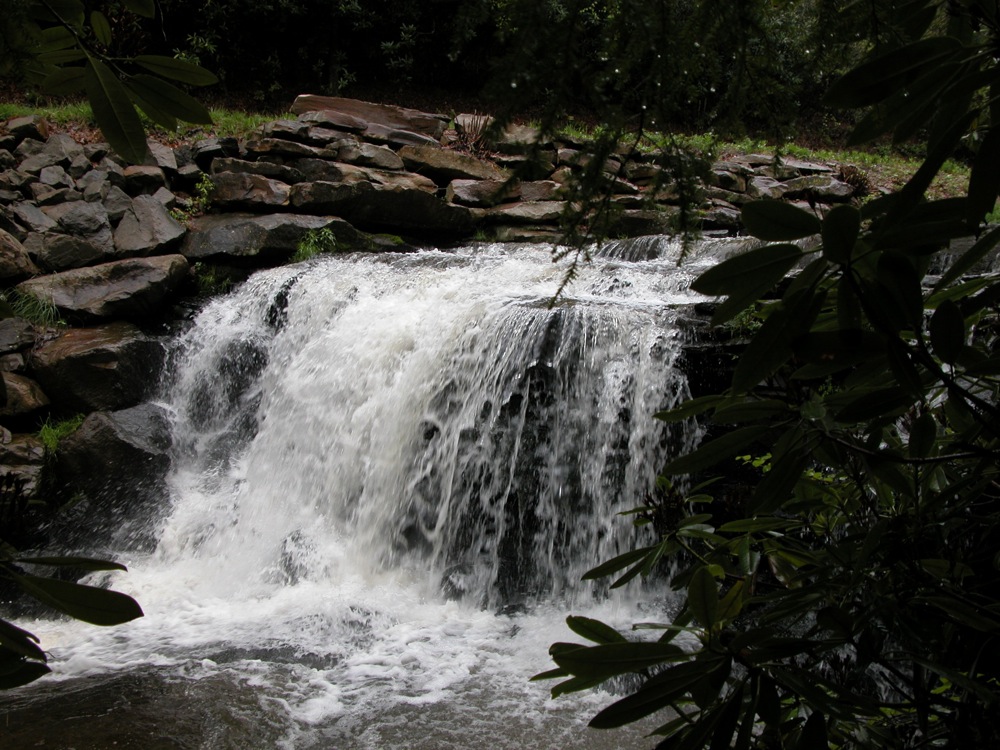
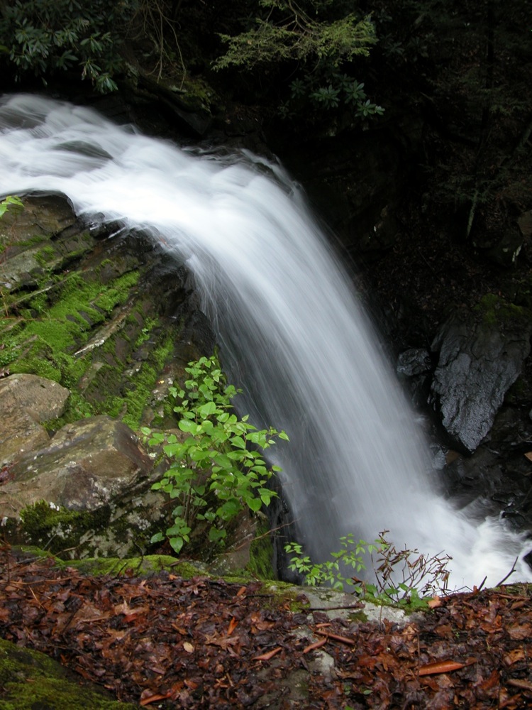 An evening shot |
 Down in the gorge |
This page has been accessed
43483 times.
Last Modified:
Saturday, 19-Sep-2009 20:21:48 MDT.