


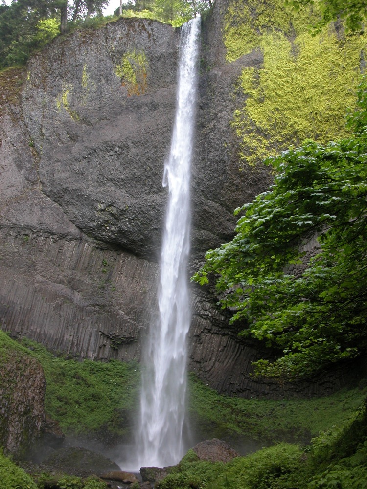
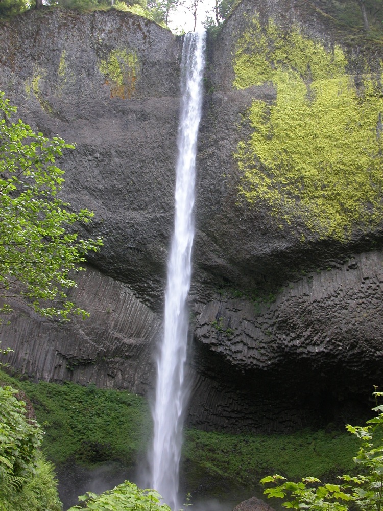
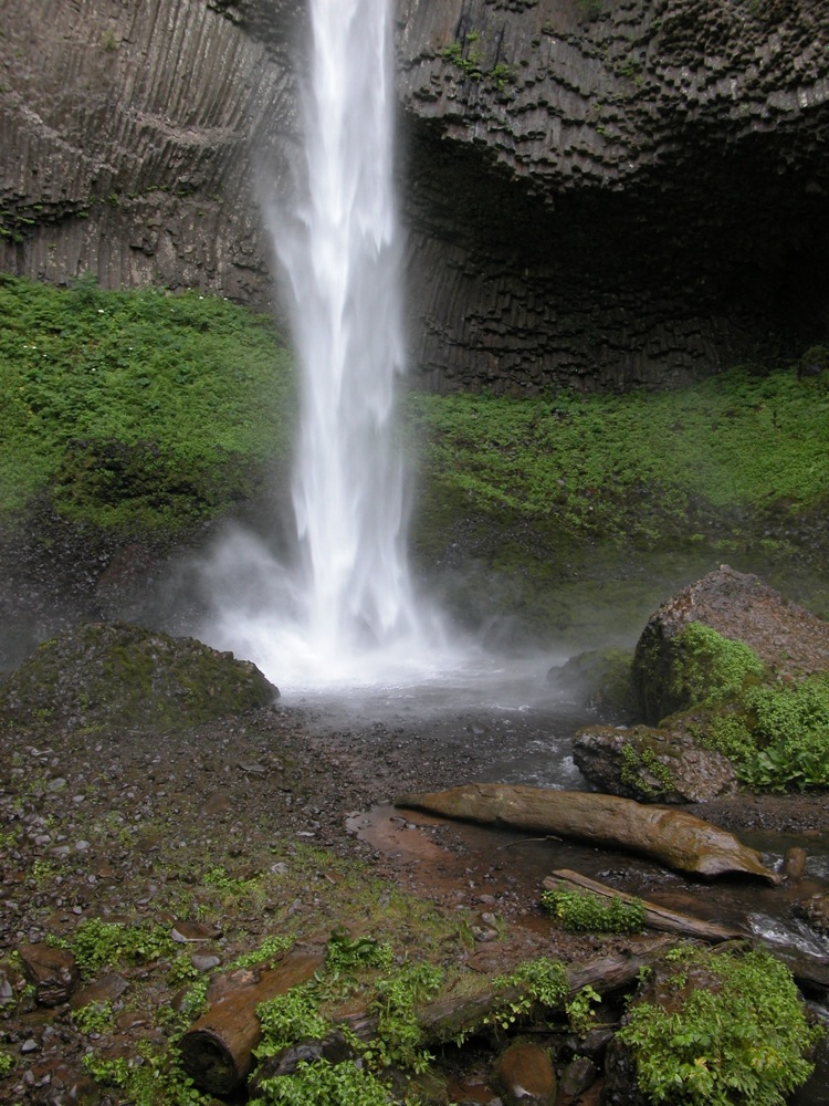
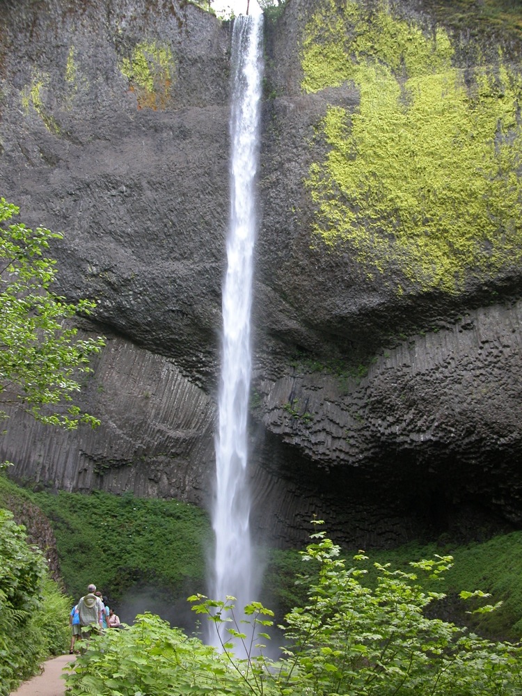
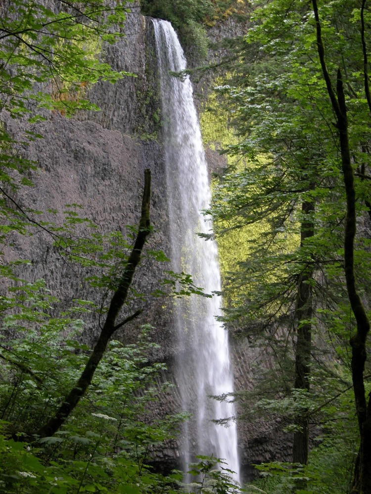
The 249 foot Latourell Falls is the first of many waterfalls along Oregon's Historic Columbia River Highway. The falls is 2.5 miles west of Crown Point Vista House. There is a well signed parking area along the road. The falls is visible from the road, but a short walk on a well groomed trail will take you down to the base of the falls.
A second, more difficult trail, climbs steeply up the left side of the falls, offering some very nice side views of the falls. This trail continues for about 1 mile to the Upper Falls, crosses the creek, and then loops back down to the base of the lower falls. In total it is a 2.1 mile loop.
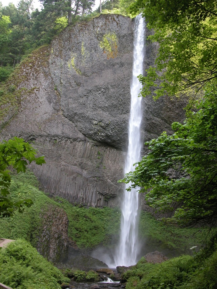
The columnar formations in the rock reveal the volcanic origin of the cliff Latourell Falls plummets over. This waterfall, and all the others in the Columbia River Gorge, owes its existence to a history of eruptions and floods.
Nearby Falls
There are a lot of waterfalls in the Columbia River Gorge. A 10 mile drive east will take you past Bridal Veil Falls, Wahkeena Falls, Multnomah Falls, Oneonta Falls, Horsetail Falls, and many others.
Photo Gallery
 |
 |
 |
 |
 |
 View from Parking Lot |
This page has been accessed
34970 times.
Last Modified:
Thursday, 24-Sep-2009 21:43:30 MDT.