


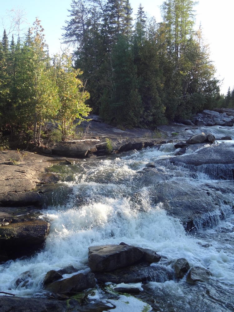
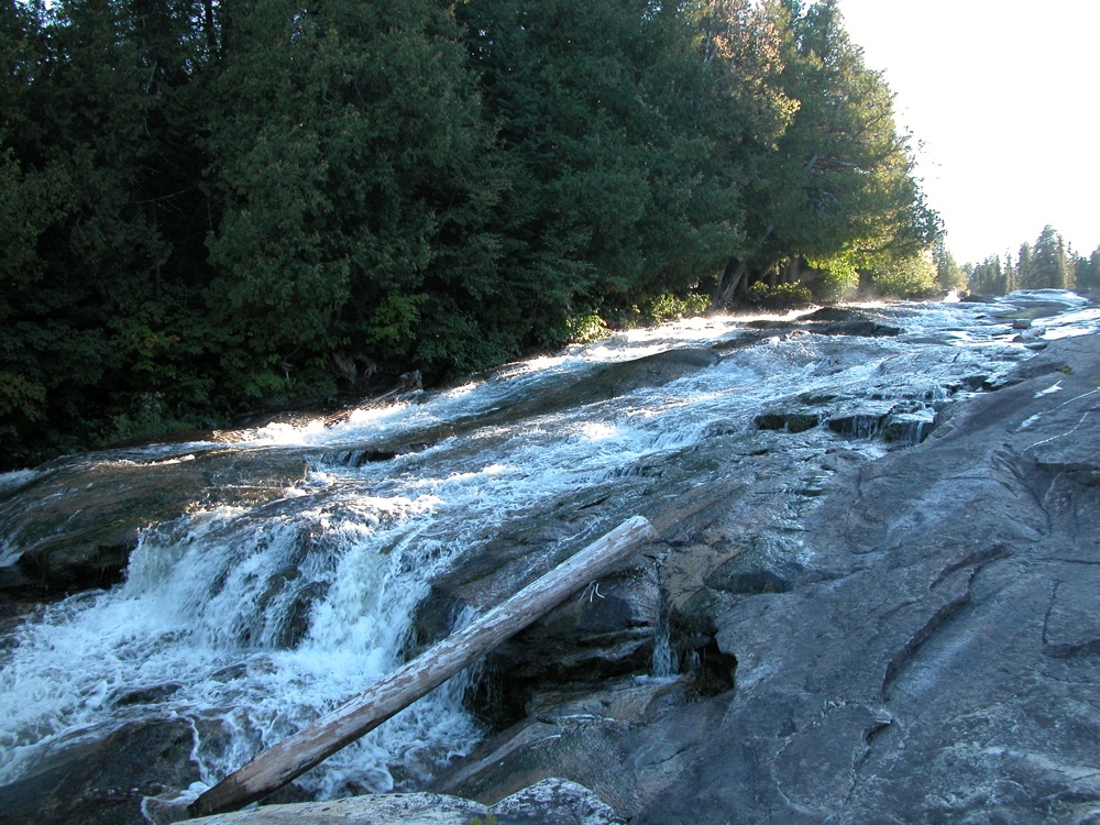
Twin Falls is a long series of slides on cascades on the Kagiano River as it descends down to meet the Pic River. The falls is divided into two channels, hence the name. The river drops over 50m, but most of the drop is gradual. You can walk down the exposed bedrock along side the falls from the top nearly to the bottom.
A dam was constructed at the crest of the falls in 2000. Most of water is diverted for power generation. The amount of now exposed bedrock will give you a sense of how much water used to flow over the falls. I imagine in the spring the falls regains some of its former glory.
Like all the falls around Manitouwadge reaching it is a bit of an adventure. From Manitouwadge it is a drive of over 50km on rough roads to the falls. These are the same roads that lead to Manitou Falls, High Falls an Middle Falls. Here is part of the route. At this point there is a rough one lane road that leads directly to the dam, but it is not on Google Maps. This road has some very steep hills with limited visibility at the top, and some rough rocky stretches. Another option is to continue 2km down the main road. Here you will find a rough two track that also leads to the falls. This trail is less steep, and more friendly for hiking or biking.
[Lake Superior] Nearby Falls
There are a number of falls in the area. Cedar Falls is a mile upstream, but there is no easy way to get there. It can be seen in aerial imagery, but I have no idea how big or scenic it is. Manitou Falls on the Pic River is a couple of miles away. A rough bush trail exists between Twin Falls to Manitou Falls. High Falls and Middle Falls on the Pic River are a 30km drive to the north. Labrador Falls, Four Bay Falls and Nama Falls are also in the area.
Photo Gallery
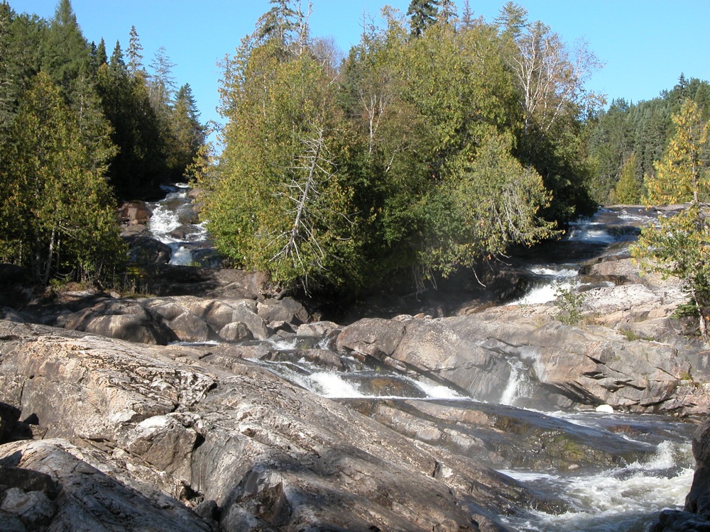 The two channels from below |
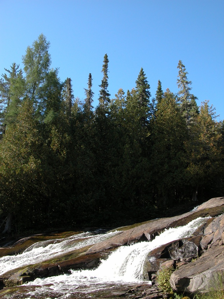
 Top of left channel, with dam above |
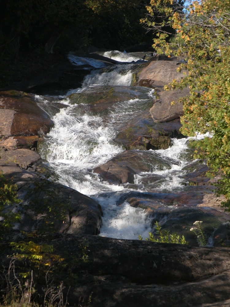 Part of right channel |
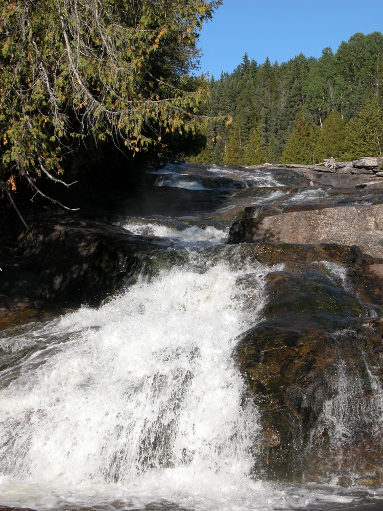
 Part of right channel |
 |
 |
 |
 |
This page has been accessed
24209 times.
Last Modified:
Sunday, 18-Mar-2018 17:30:09 MDT.