


The Dead River Falls are a series of falls and rapids located just west of Marquette Michigan. In a half mile stretch the river drops 90 feet. There are three drops over 15', and a number of smaller drops. The exact number depends on who you ask.
The trailhead to the falls is located behind the power house on Forestville Road. Forestville Road can be reached from Wright Street, which intersects with US 41. Forestville Road is not paved, but is well maintained and easily managed by a regular car. The trail is well marked, and begins as an access road.
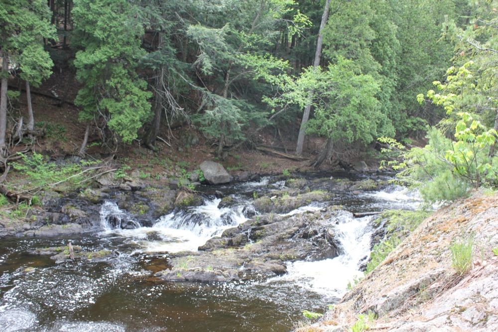
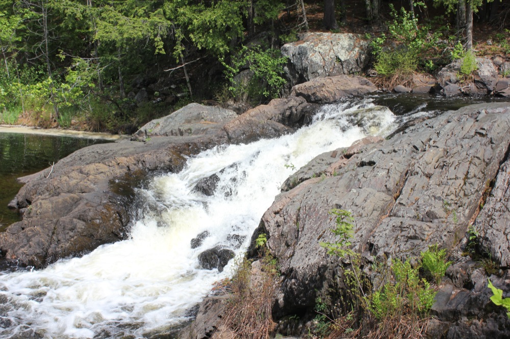
The biggest challenge with visiting the falls is getting past the lower drops. The trail reaches the river by the lowest drop on the river, which is only a few feet high. The trail heads upstream to where the river has chewed its way through a big chunk of rock, leaving high rocky walls preventing easy access upstream. You either have to climb up the rocks, or try the paths on the high sandy banks. The latter may be the only option in high water. Neither is especially hard for a reasonably abled bodied person, but likely to stymie the very young or old. Once you get past this obstacle an easy trail follows the river upstream.
 Lowest drop
 |
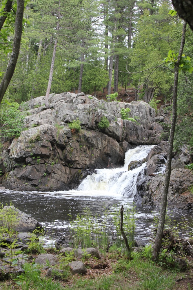
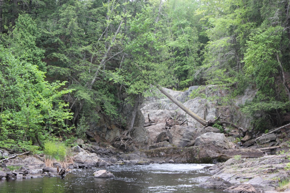 The barricade
 |
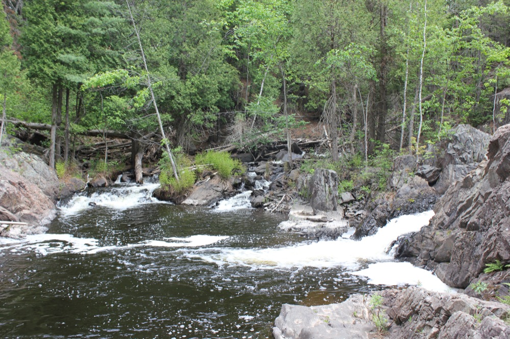 Base of barricade
 |
 Above the barricade
 |
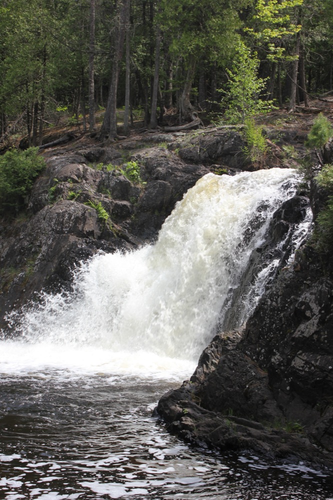
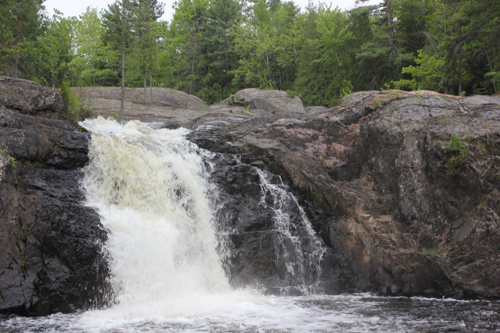
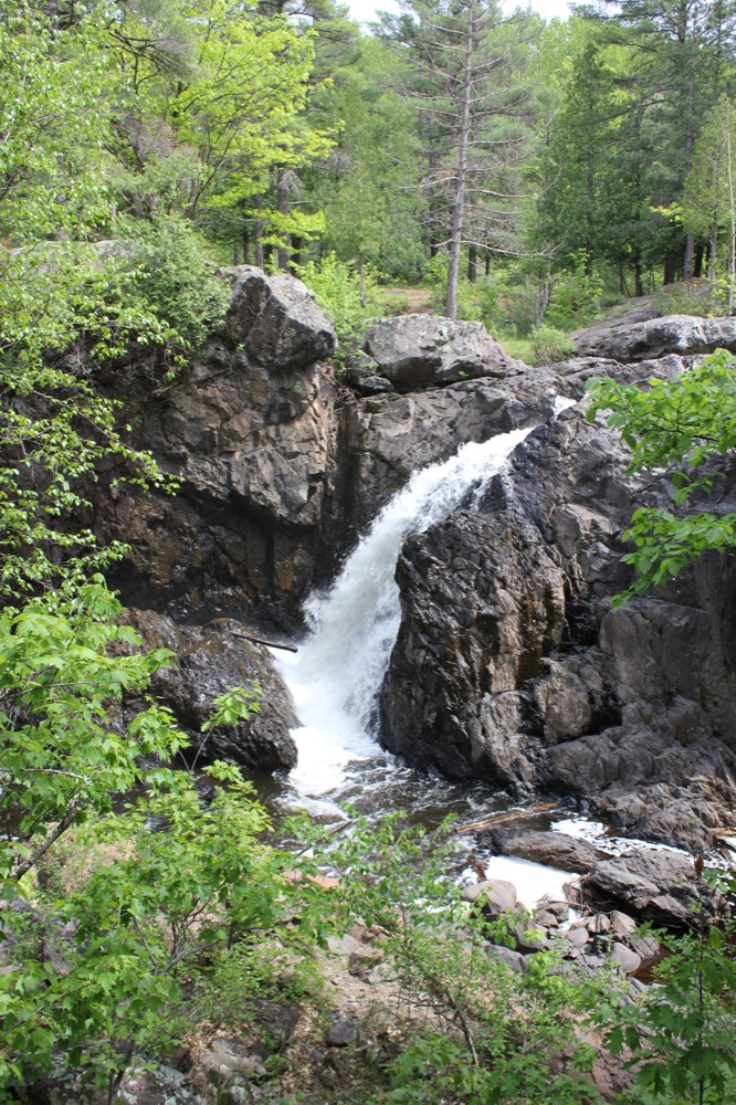
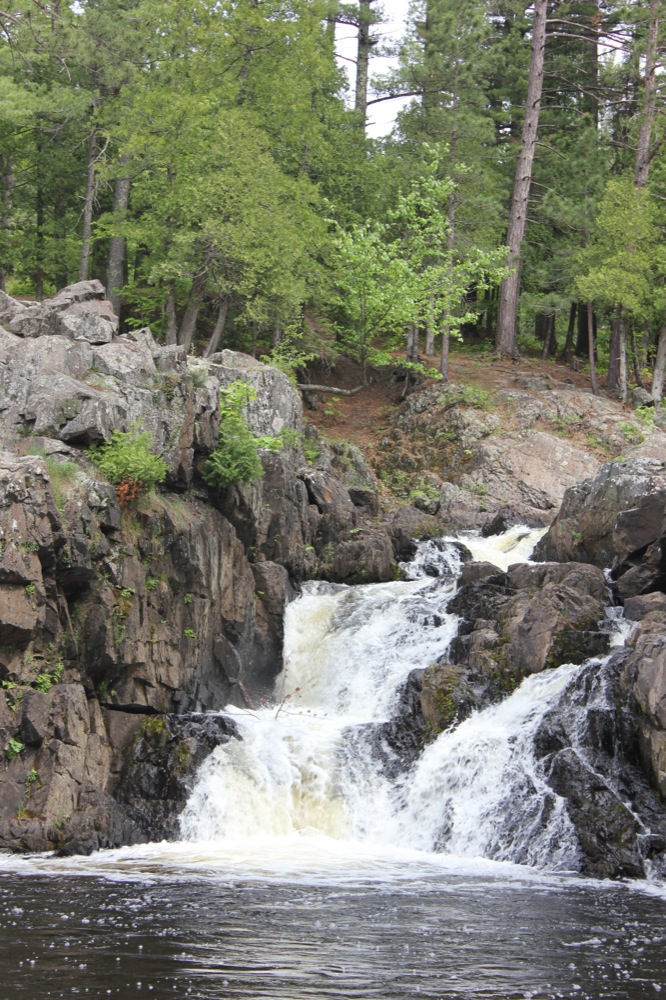
The biggest of the falls is right around the corner. The river drops about 25 feet over a wide rock cliff. There are plenty of viewing opportunities for this fall. Just above this is another small drop.
|
|
|
 Drop above the big falls
 |
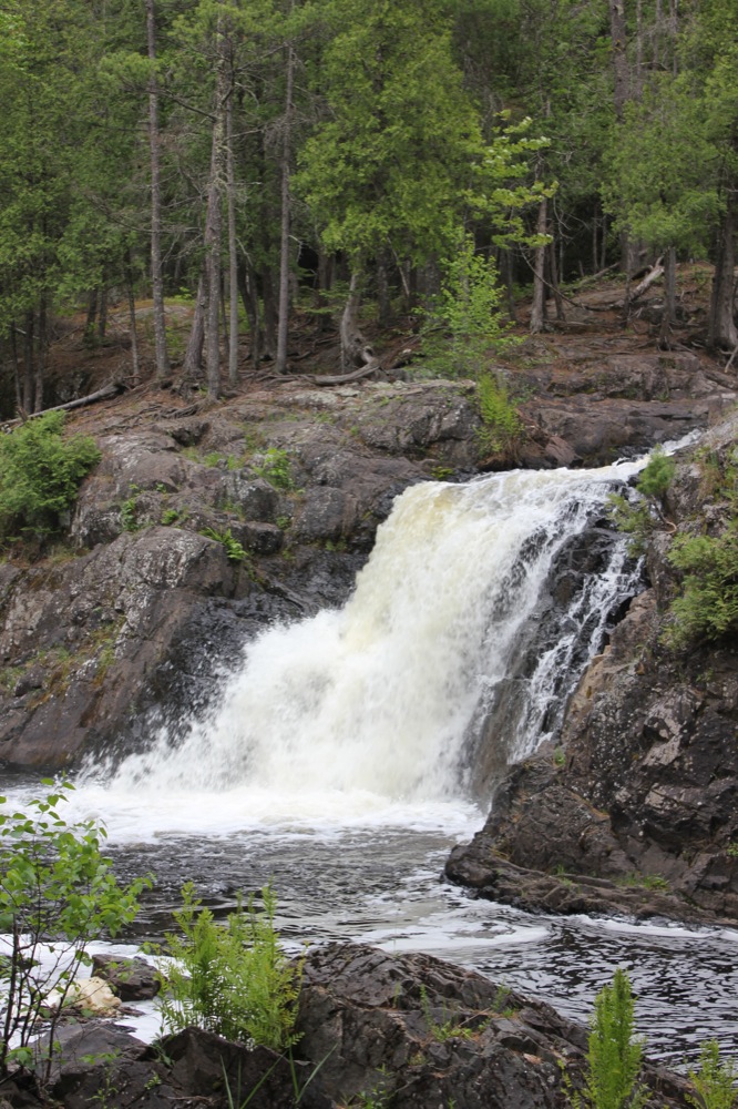
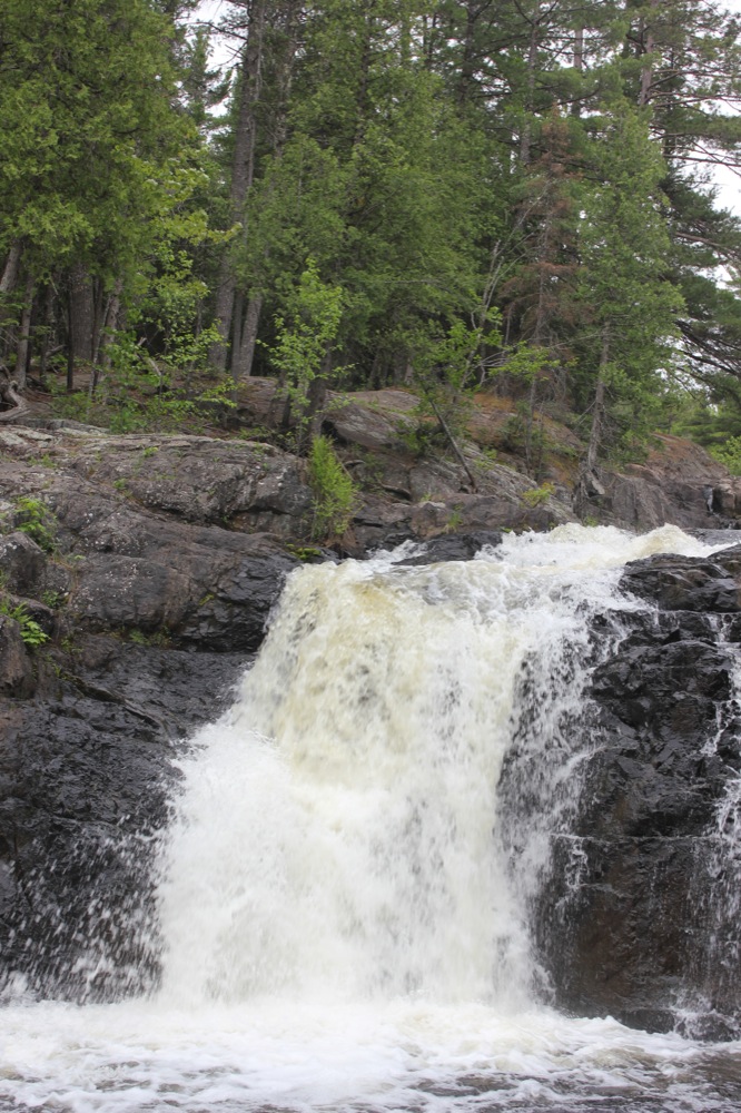
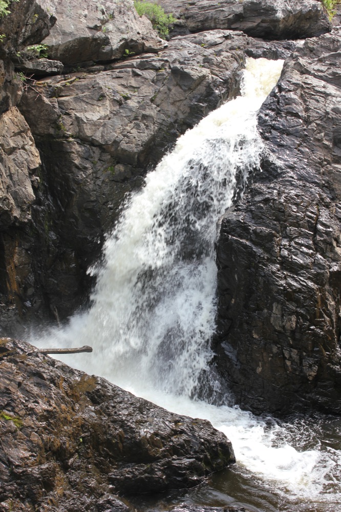
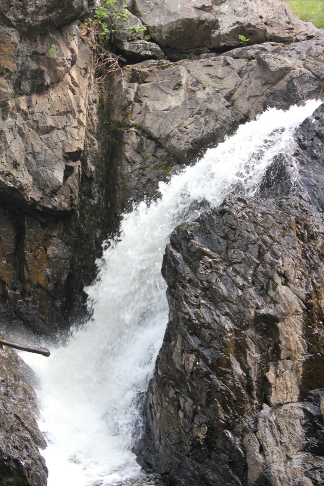
Farther upstream is another 5' drop. The next drop is a 20' falls, which in my opinion is the most scenic. The river drops steeply into a cluttered gorge. Excellent views are easily available from the rock walls above the falls. Getting to the base would be a lot trickier.
 Another 5' drop
 |
|
|
|
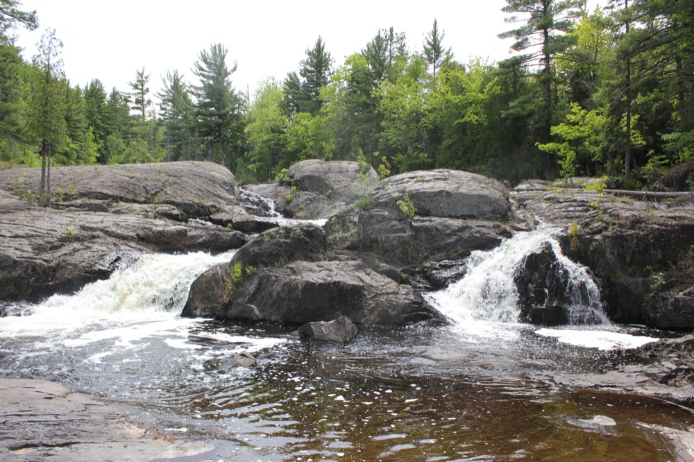
The final drop is a bit farther upstream, past a quiet stretch where the river widens considerably. The final drop is a multi-tiered drop of 15'.

 |
There are several dams on the Dead River above and below the stretch with the falls. Water is diverted for power generation, but there is normally plenty of water running in the river.
[Lake Superior] [Marquette & Baraga County] Nearby Falls
Reany Falls is located on a side stream alongside Forestville Road on the way to the Dead River Falls. Carp River Falls and Morgan Falls are about 5 miles to the south. Warner Falls and Schweitzer Falls are about 10 miles to the southwest. Alder Falls, Yellow Dog Falls and Pinnacle Falls are all within 15 miles to the northwest.
This page has been accessed
73710 times.
Last Modified:
Sunday, 16-Apr-2017 07:16:02 MDT.