


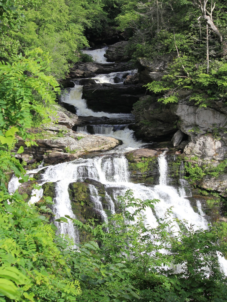
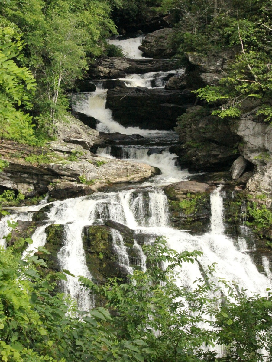
Cullasaja Falls is the last of the waterfalls on the Cullasaja River. The falls consists of a series of cascades with a large drop at the end. There is some disagreement about the height of the falls, with some claims as high as 250 feet. Part of the disagreement might be a result of different definitions about where the falls begins and ends.
The waterfall is located on the southwest side of Highway 64. It is easily seen from an eastbound car. There is no real parking. The highway is narrow and twisty, so it is a potentiallly dangerous spot for gawking. There is a small pull off beyond the falls, but you have to walk back along the road to see the falls.
Apparently it is possible to reach the bottom of the falls if you are willing to brave the poison ivy and a very steep climb.
Nearby Falls
If you head east on Highway 64 you will find Quarry Falls in about 4 miles, and Dry Falls in 8 miles. Bridal Veil Falls is another mile beyond that. A dozen other significant falls can be found within a 50 mile radius.
Photo Gallery
 |
 |
This page has been accessed
17222 times.
Last Modified:
Saturday, 08-Aug-2015 19:57:26 MDT.