


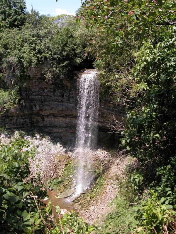
Borers Falls is in the Borer's Falls Conservation Area, although I apparently was never in the actual conservation area. There were few signs. This is another of the many waterfalls found along the Niagara Escarpment. It is also known as Rock Chapel Falls.
The one easily available view of the falls is from the north side of the gorge, a short distance from where Rock Chapel Rd crosses Borers Creek. You can park at the Rock Chapel Sancturay, which is on the south side of the gorge, and walk along the Bruce Trail (which hugs Rock Chapel Rd at this point) for five minutes. Some people also park on the north side of the gorge right next to the road, but I do not know if this is strictly legal.
It is possible to reach the base of the falls, but I was not feeling adventurous enough to make it that day. Information on how to reach the base can be found at Mark Harris's Waterfalls of Ontario site. I did follow the Bruce trail on the north side of the gorge where it descends into the gorge, and a side trail heads back south, but the trail that leads to the creek was closed for reforestation.
Nearby Falls
Webster Falls and Tews Falls are a short drive away to the south. Smokey Hollow Falls is to the north. Tiffany Falls, Sherman Falls, Albion Falls, Devil's Punchbowl Falls, and Felker Falls are also all nearby.
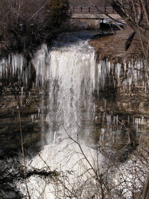
Photo Gallery
 |
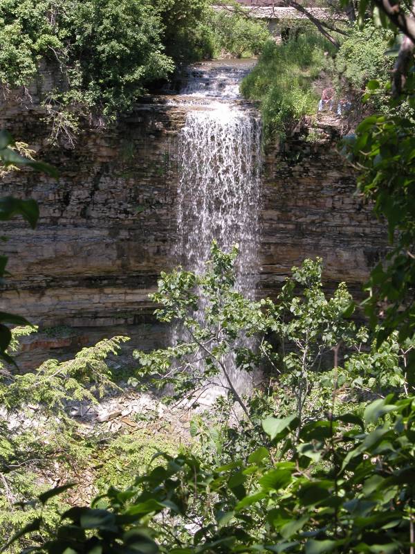 An obstructed front view |
 January 2005 |
 |
This page has been accessed
71677 times.
Last Modified:
Saturday, 19-Sep-2009 15:21:28 MDT.