


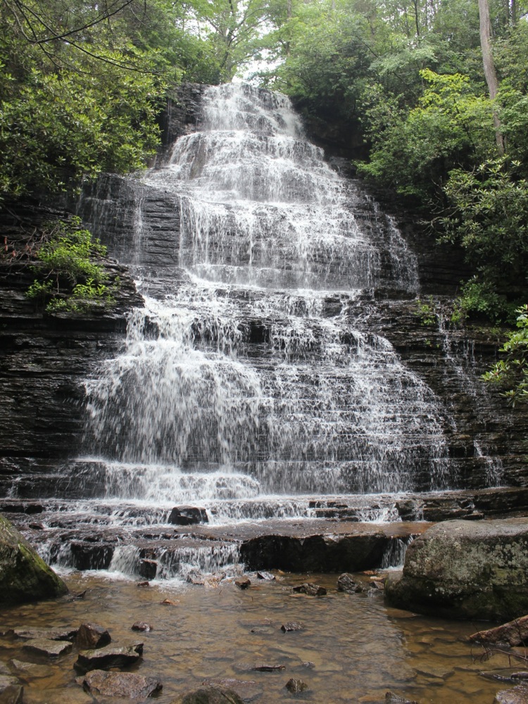
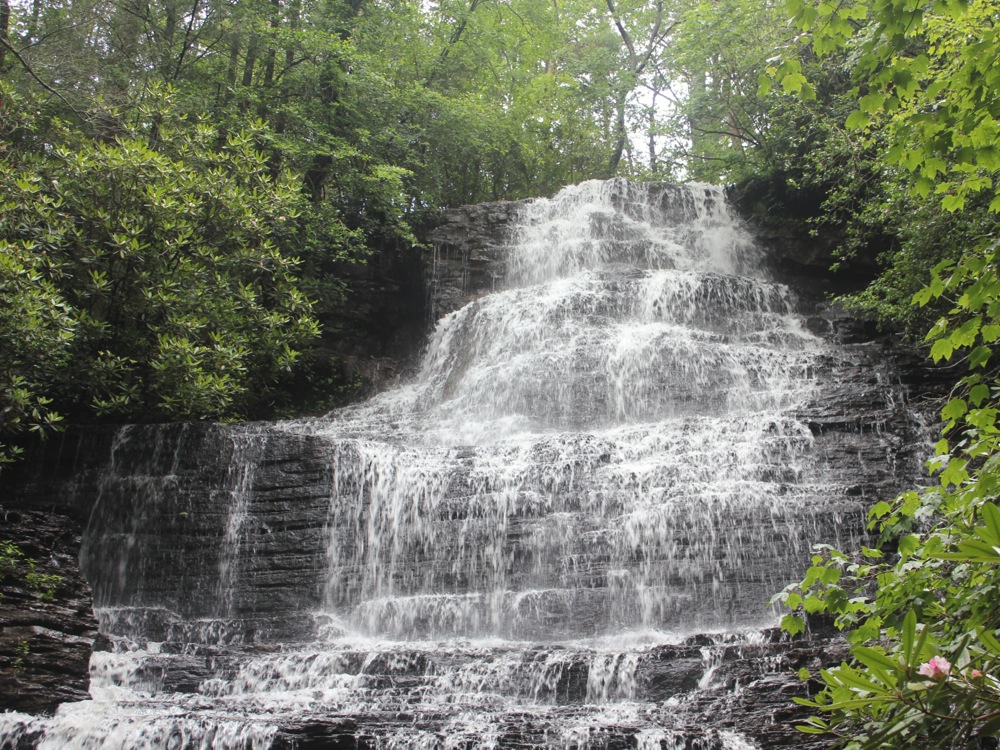
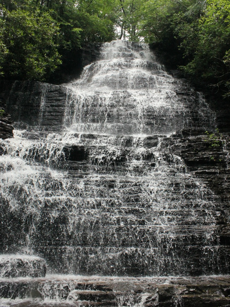
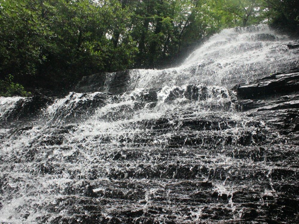
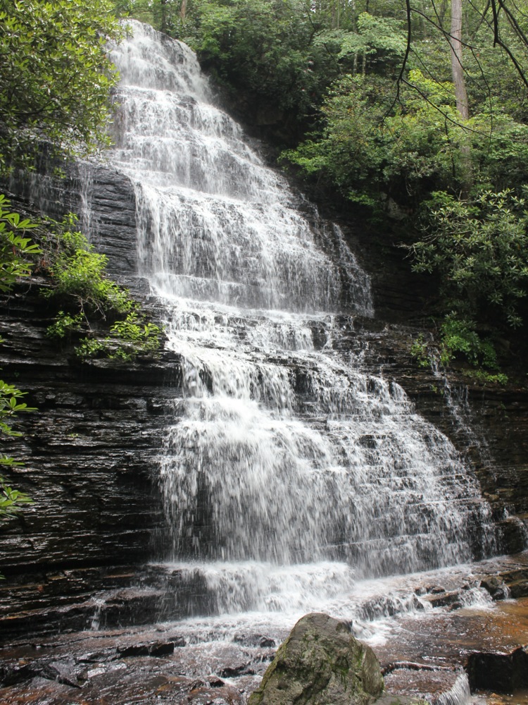
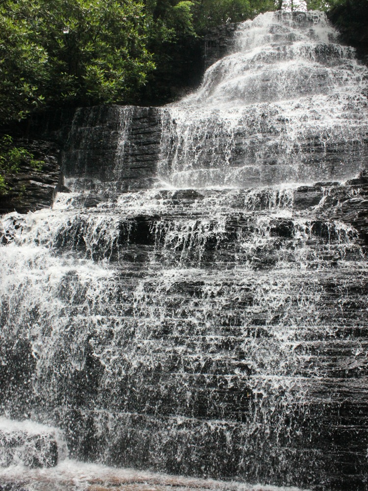
Benton Falls is located in the Chilowee Recreation Area in Cherokee National Forest. This wild 65' falls tumbles down a steep rock face.
The hike to the falls starts by the swim area on McKamy lake. It is a 1.5 mile hike to the falls. The trail is relatively level, especially when you consider how hilly the landscape is. I am not 100% sure, but it felt like the trail was mostly downhill to the falls. Keep an eye out for the signs, as the trail continues for miles and miles beyond the falls. The steepest part of the trail is the final descent down into the gorge to the base of the falls. It is a popular hike, so you will probably have company.
The recreation area is reached from Highway 64. Take Forest Road 77, which is about 7 miles east of the 64/411 intersection, and drive 7.5 miles to the recreation area. The drive itself is very pretty, with lots of scenic outlooks out over the valleys below.
Nearby Falls
There are a number of falls in the southeast corner of Tennessee, but given the difficult terrain, even nearby falls may take a long time to reach. About 5 miles east on Highway 64 is the trail head for Rock Creek Falls. Several waterfalls can be seen on this difficult hike. Turtletown Falls is about 15 miles as the crow flies to the east, but it is a much longer drive. The much larger Bald River Falls is about 30 miles away as the crow flies, but it is at least a 1.5 hour drive.
Photo Gallery
 |
 |
 |
 |
 |
 |
This page has been accessed
47899 times.
Last Modified:
Saturday, 08-Aug-2015 19:31:23 MDT.