


Aubrey Falls is a large, isolated and very interesting waterfall over 80 km north of Lake Huron on the Mississagi River. The falls are the center of the small Aubrey Falls Provincial Park. There is a large dam and power station here, and the flow over the falls is greatly reduced or even stopped at night or during the non-summer months. Otherwise the station is mostly unobtrusive.
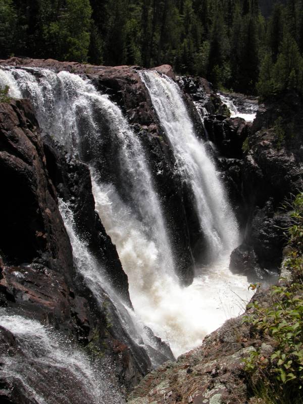
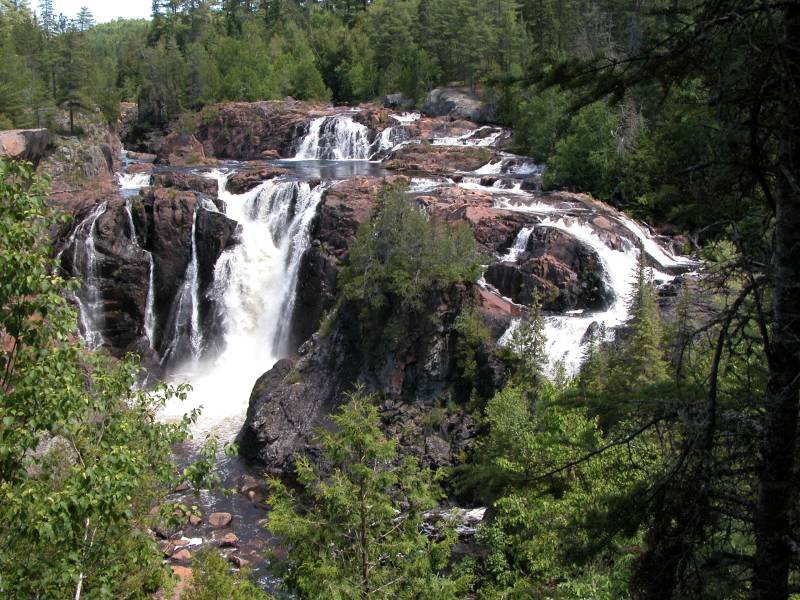
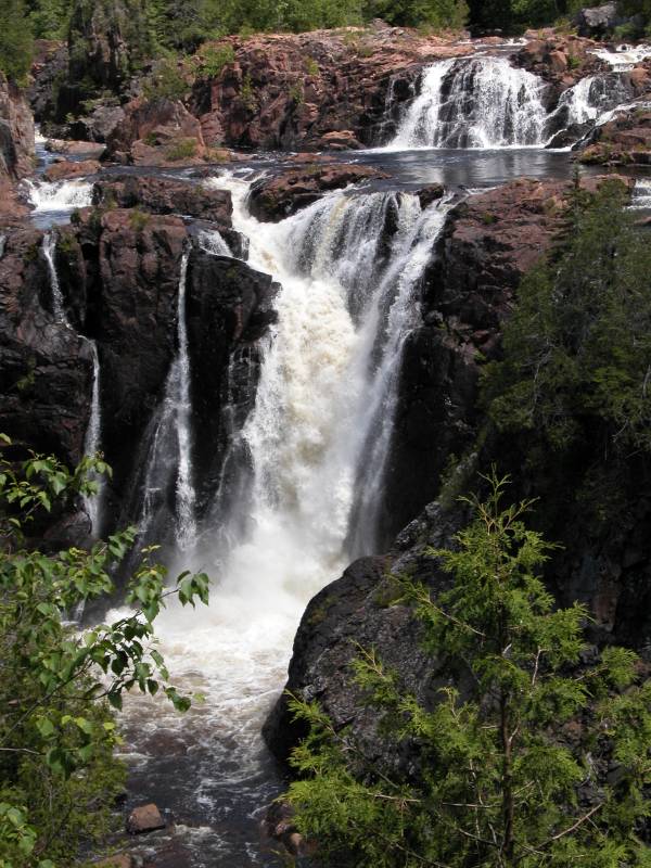
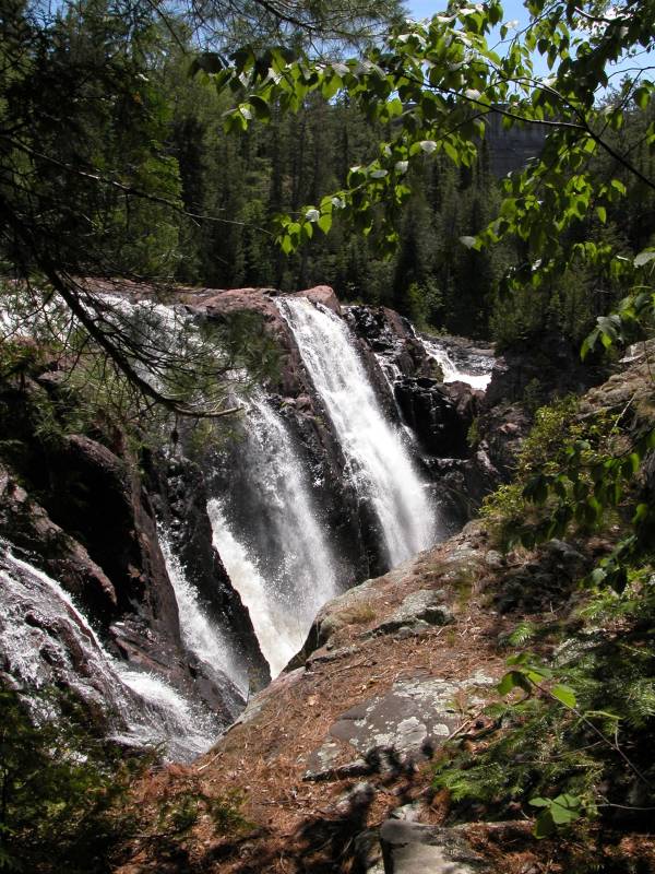
This is a complicated waterfall. The Canadian Shield seems to be quite a challenge for rivers. The river cascades over the rocks in many places and is in the process of carving out an island at the base of the falls. Just below the falls the river takes a sharp right turn and runs through a deep gorge. There are several drops. The main drop is about 20 meters high.
To reach Aubrey Falls head north on Hwy 129 from Thessalon. The waterfall is 85km north of Hwy 17. This is a winding and scenic drive with lots of nice views of the Mississagi River Valley. It is a lonely drive and will take at least an hour. There is not much in the way of civilization along the way, so make sure your gas tank is full! The park consists of just the falls, a small parking area, pit toilets and a few trails.
The trail from the parking area is nice and wide and relatively level. It will take you about 10 minutes to reach the bridge over the gorge. Beyond that the trail is a bit rougher. Personally I thought the views were better on the near side of the bridge. You can climb up the rocks and make your way to an overhang just beyond the falls for some very stunning views. Trying to get into the gorge near the base of the falls would be very difficult and very dangerous due to the fact that the water levels may change unexpectedly because of the dam.
In times of low flow, the lower section of the falls is reduced to a single segment.
Nearby Falls
Aubrey Falls is rather remote. 35km south on Hwy 129 you will find the trailhead to Grindstone Falls, if you look carefully enough. According to maps there are other falls in this rocky and remote region, but I have no idea how scenic or accessible any of them are.
Photo Gallery
 "Official" View |
 |
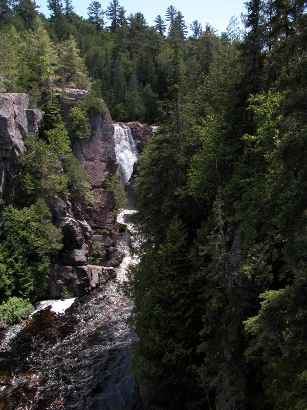 View from Bridge |
 View from Bridge with Dam |
 The Approach |
 The Island |
 Panorama (with some help from PhotoShop) |
|
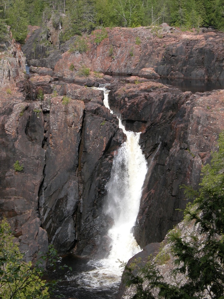 Low flow, May 2010. Compare to top right photo. |
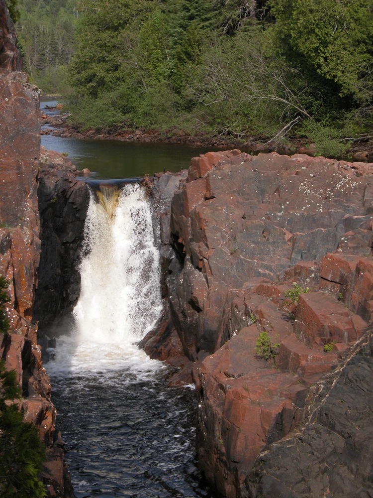 Top of falls, May 2010 |
This page has been accessed
87589 times.
Last Modified:
Saturday, 26-Nov-2011 11:08:02 MST.