


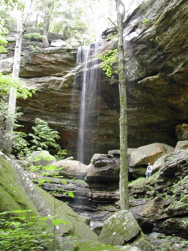
Anglin Falls is in the John B. Stephenson Memorial Forest State Nature Preserve in Rockcastle County, near Berea. This is a pretty waterfall when it has water, but I am told it dries up to a trickle in the summer. The pictures are from May after a couple of rainy days.
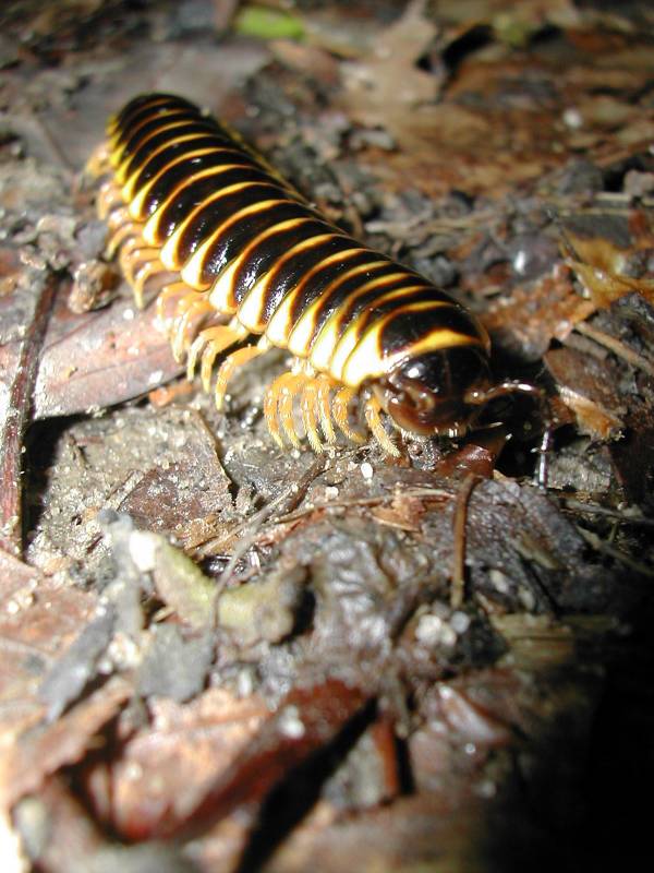
The area is full of wild flowers and big colorful millipedes.
Finding Anglin falls was a bit of an adventure. The "official" directions from I-75 are to take KY 21 east for approximately six miles to U.S. 421 S. Take U.S. 421 S. for approximately 2.8 miles. Continue into Rockcastle County for 0.2 miles and take a right on Hammonds Fork Road. Follow Hammonds Fork Road for approximately four miles and take a left on Anglin Falls Road. The road goes down a small hill. It is paved to the bottom, but is gravel after that. Follow Anglin Falls Road for one mile, then take a left on gravel road to the preserve. There is a small white sign on a mailbox that says "Anglin Falls" in black typed letters marking the entrance to the preserve . The name "Venable" is on the mailbox.
Just before the entrance to the preserve there is another "road" to the left marked with a hand painted sign that says "Anglin Fall Farms". If you pull in there, some dogs will come out to greet you, but you will not find any falls.
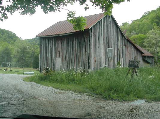
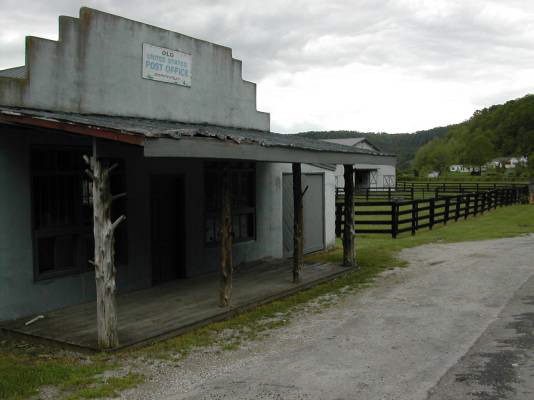
I got directions from the Berea Public Libarary. The people there were extremely helpful. The path I took was something like this: From downtown Berea head south on 595 for about 6 miles. After about 3 miles the road becomes 1617 according to MapQuest, but I did not notice any signs. I just stayed on the main road. There are lots of twists and turns and hills. At 6 miles, the road splits. The main road continues to the right, there is a sharp left, and a middle road. There is a grocery store and cemetery on the left. Take the middle road. Continue until the road ends at a tee. This is Hammonds Fork Road. There is an old post office here. Take a left. The first road on the right is Anglin Falls Road.
Nearby Falls
Photo Gallery
 |
 |
This page has been accessed
166557 times.
Last Modified:
Saturday, 04-Jun-2011 08:58:45 MDT.